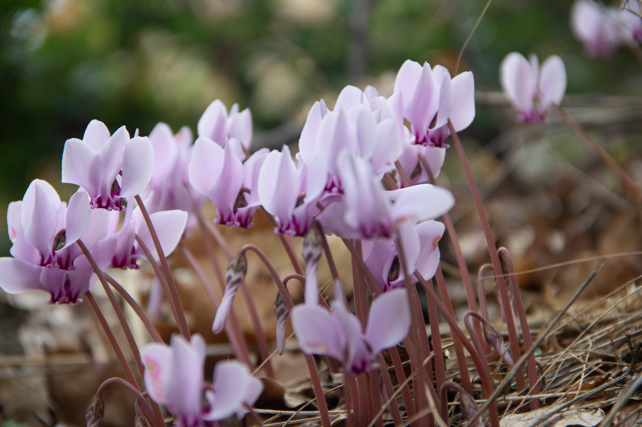
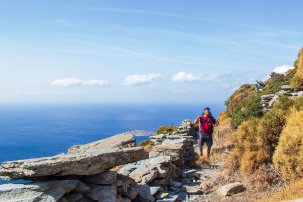
At the end of October 2021, I traveled to the island of Andros in Greece for a solo hiking trip.
The official Andros route covers 100km in 10 days. I took inspiration from this excellent variation posted on the “Hiking and Coding” blog and came up with a modified itinerary where I’d walk about 90km in 5 days. I eventually covered that distance but made some changes along the way. This post is a photo diary of my itinerary.
Arrival
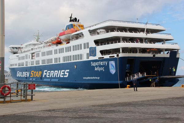
My ferry to the port of Gavrio arrived in the early afternoon, and I hopped on a taxi to my starting point, the town of Batsi. I stayed at the Karanasos hotel, where I met Dimitris, who shared many helpful hiking tips and an excellent up-to-date map of all the hiking trails.
Day 1: Batsi to Arni
- Routes: 11
- Total distance: 10km
- Ascent: 731m, Decent: 285m
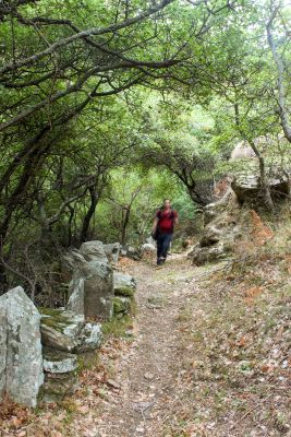
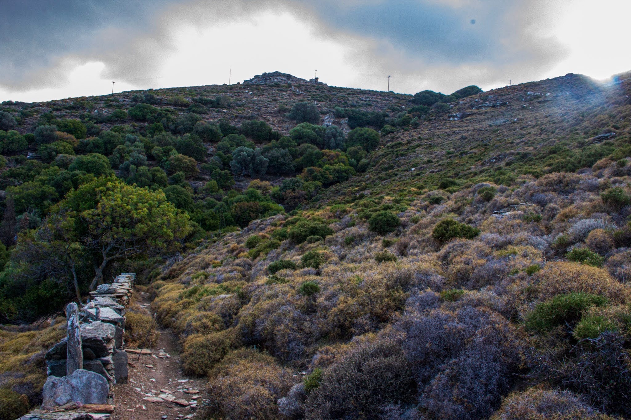
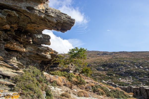
My first hike followed the “day 3 itinerary” of the official Andros route: relatively short, sticking to route 11 all the way.
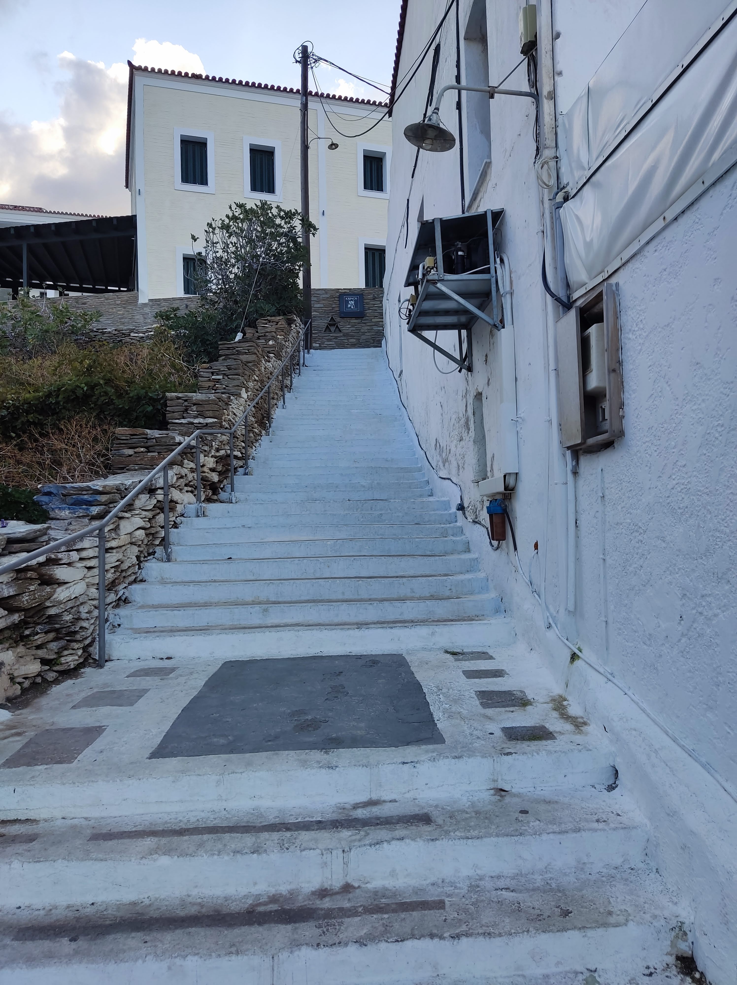
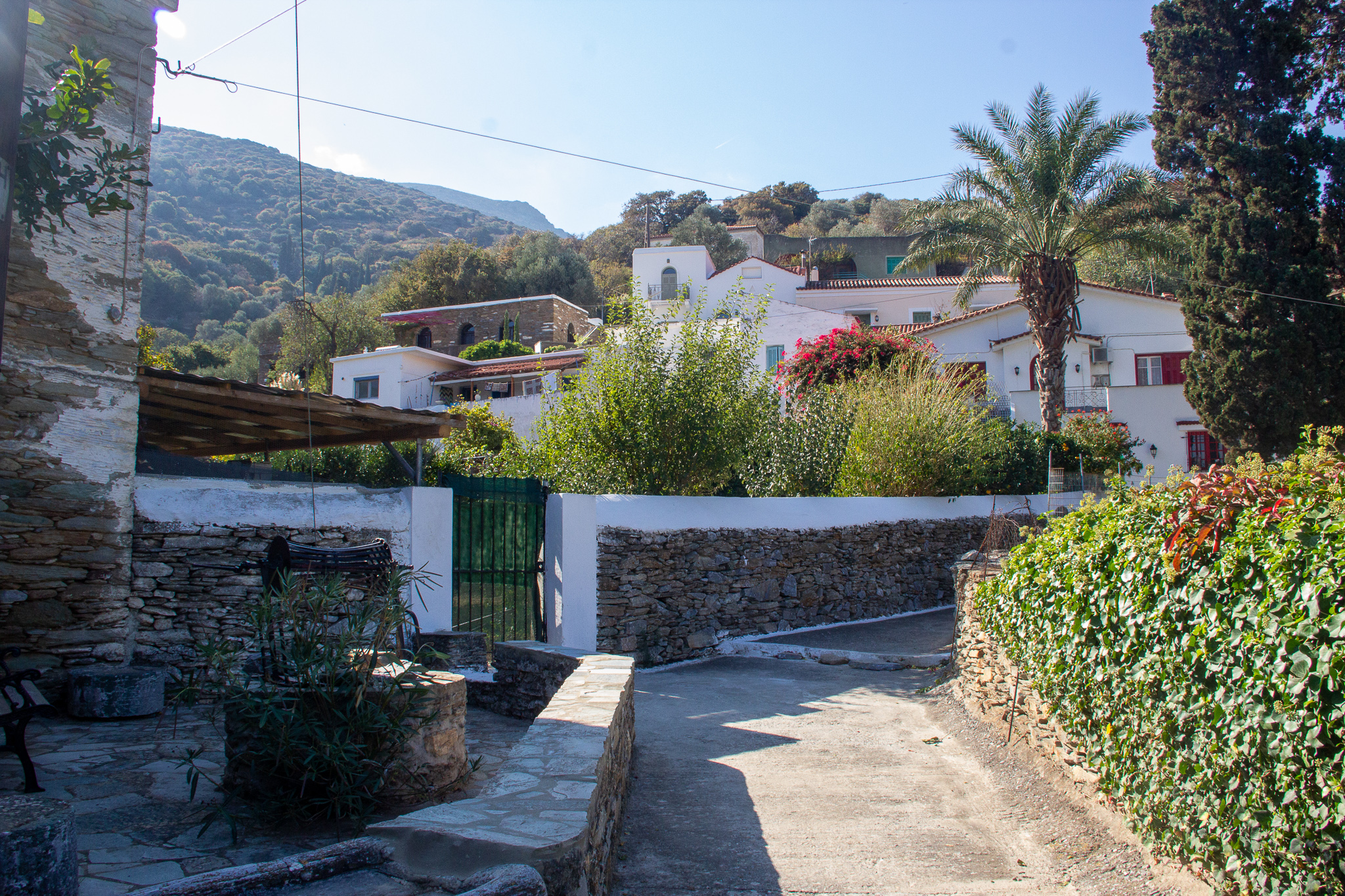
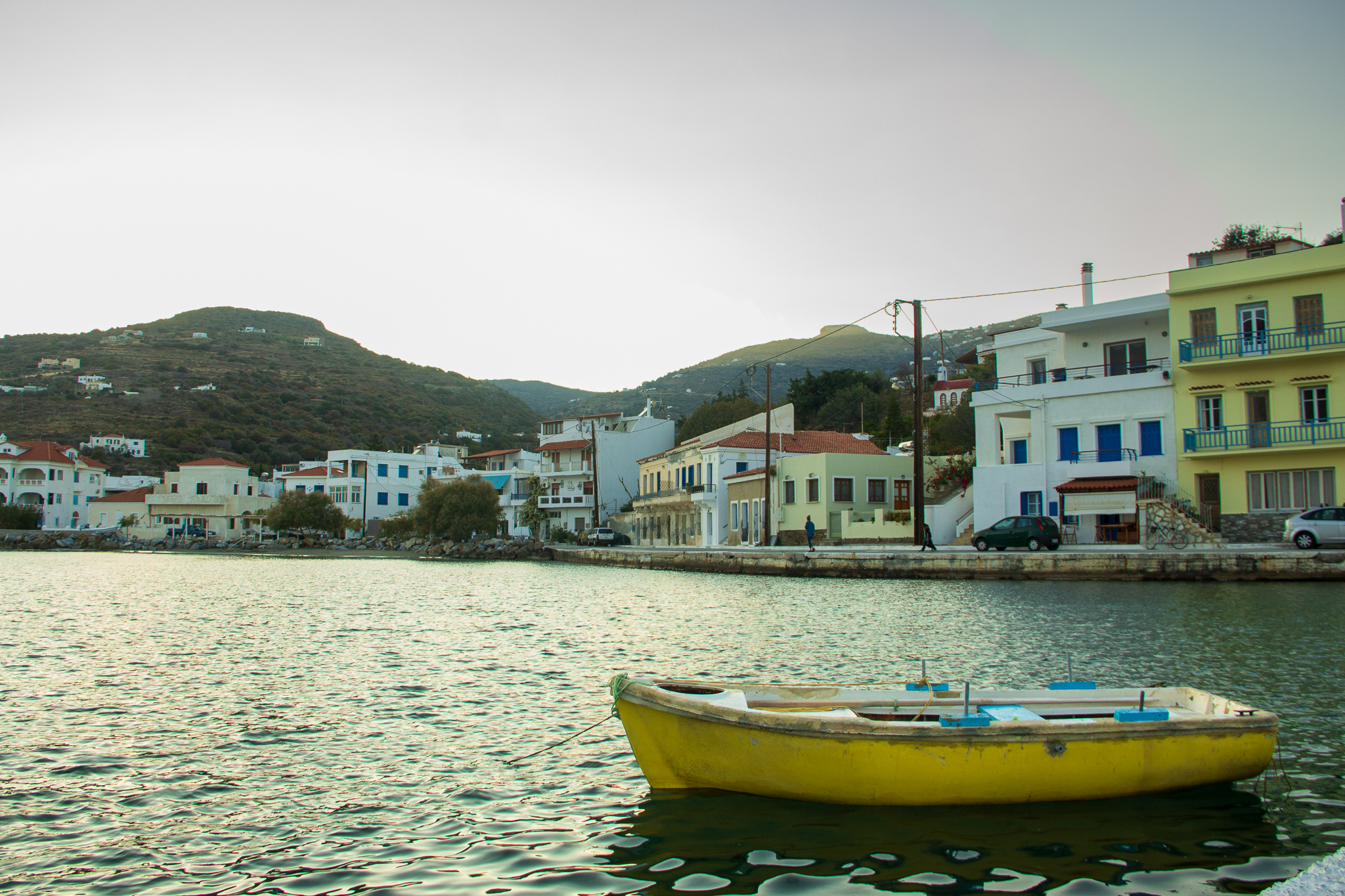
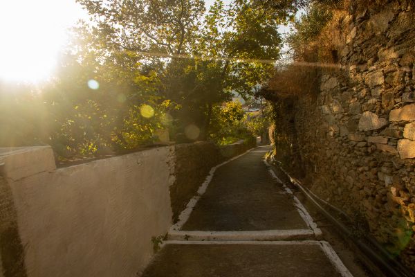
Batsi 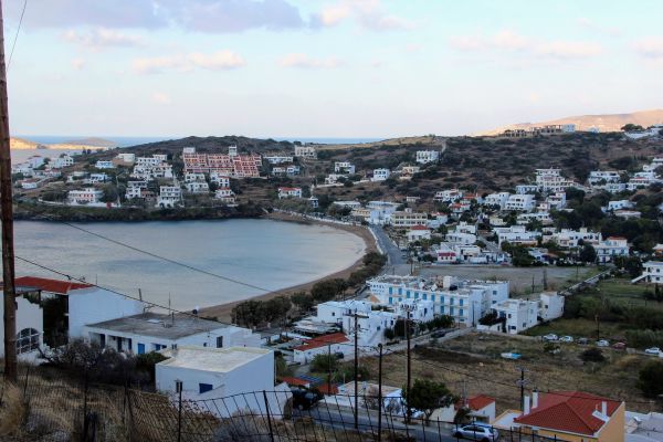
Batsi 
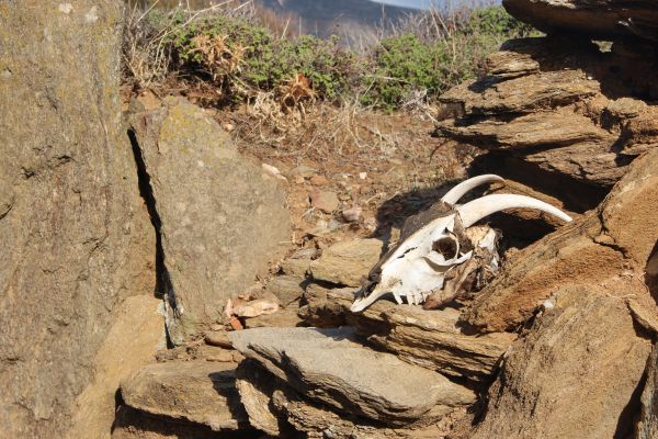
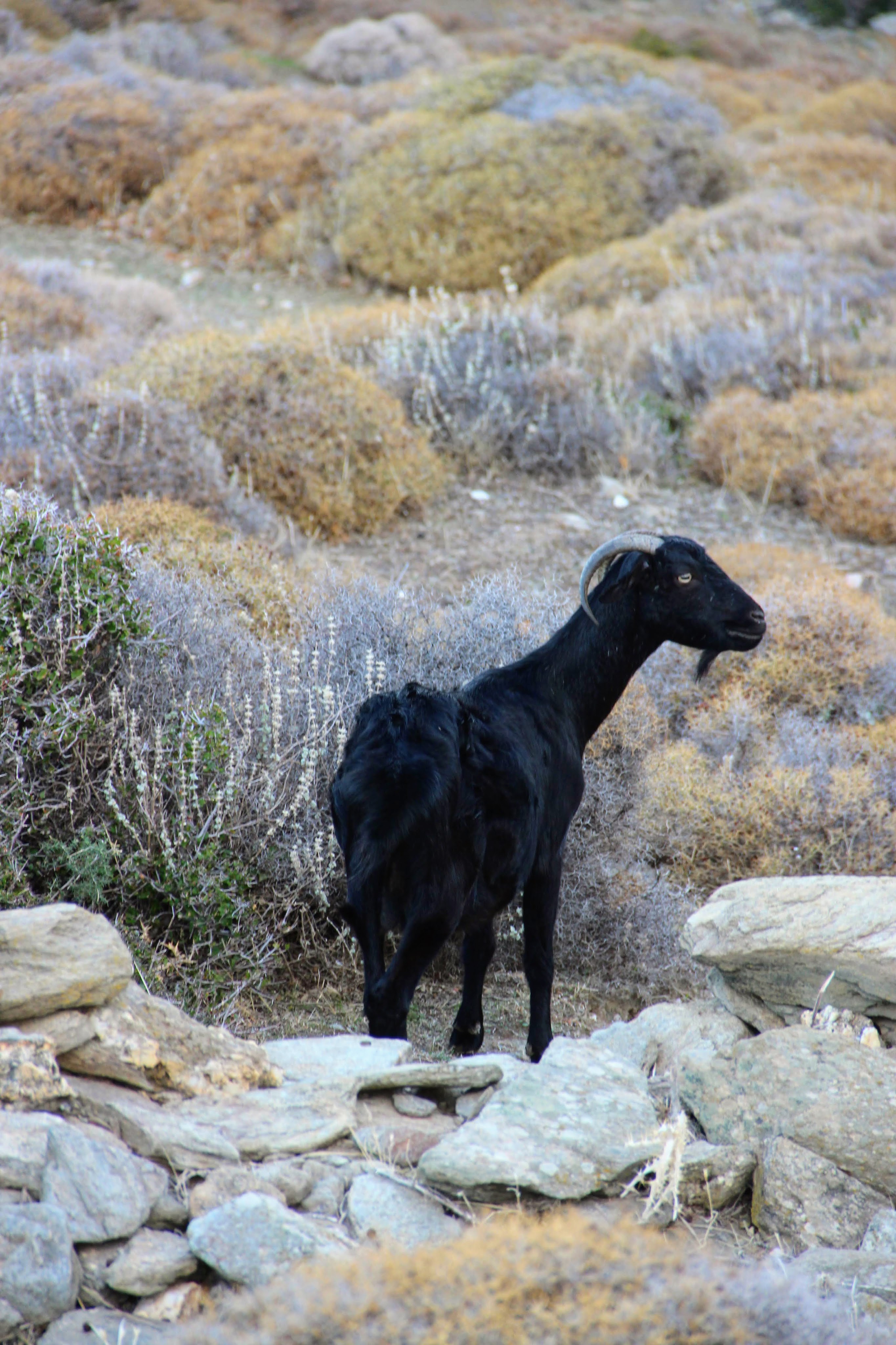
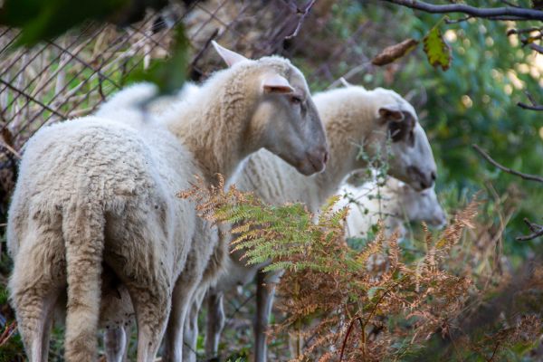
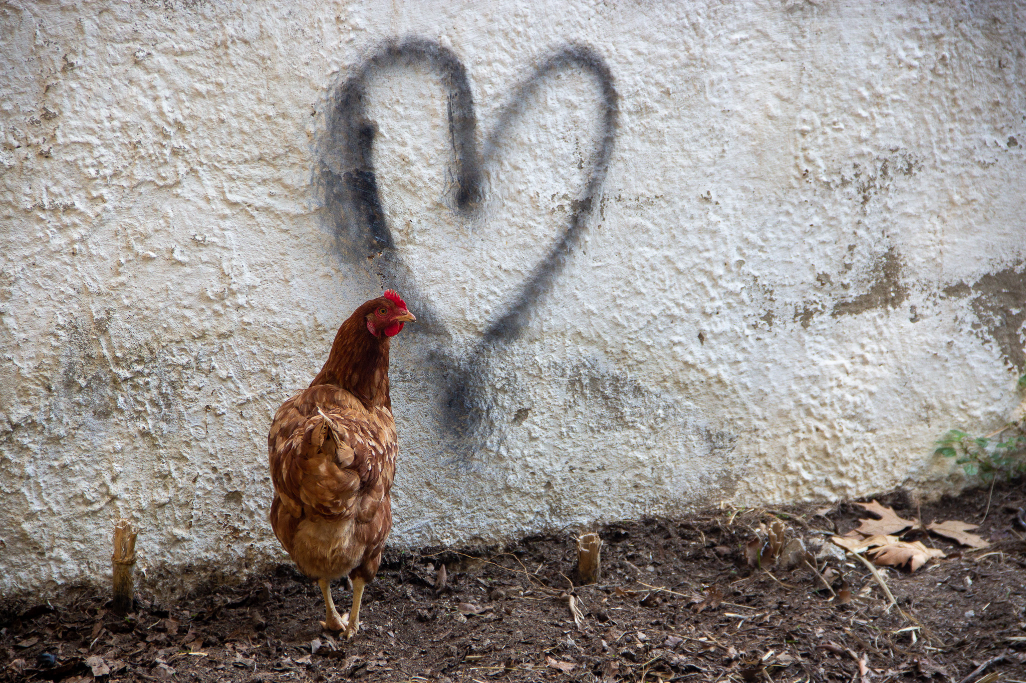
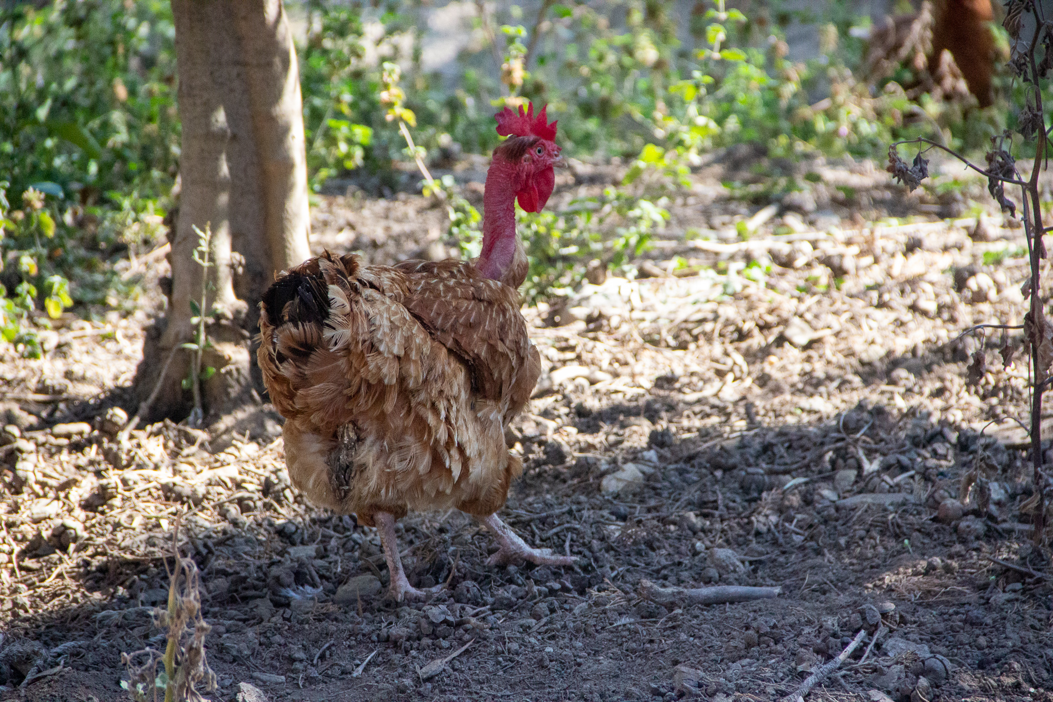
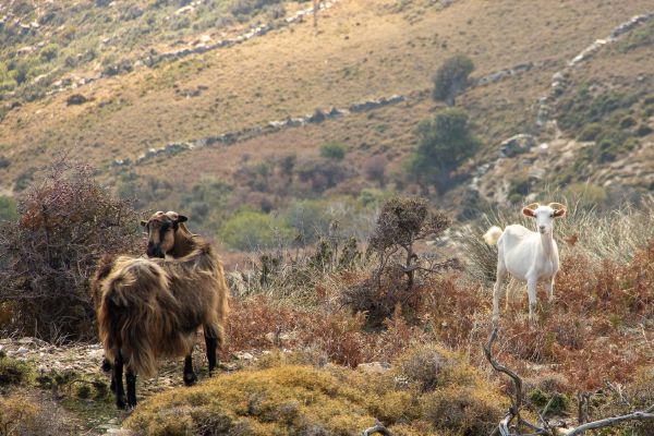
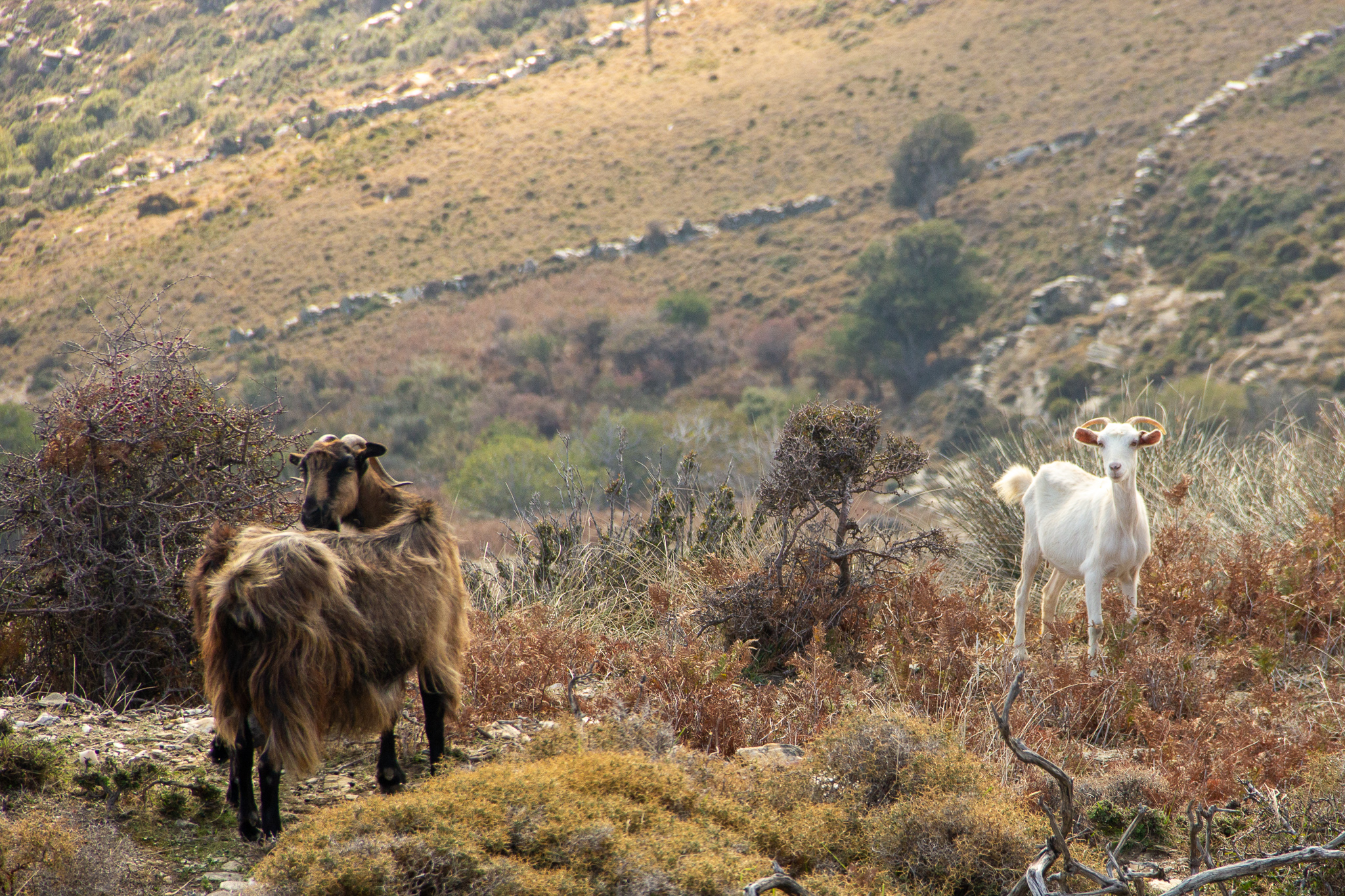
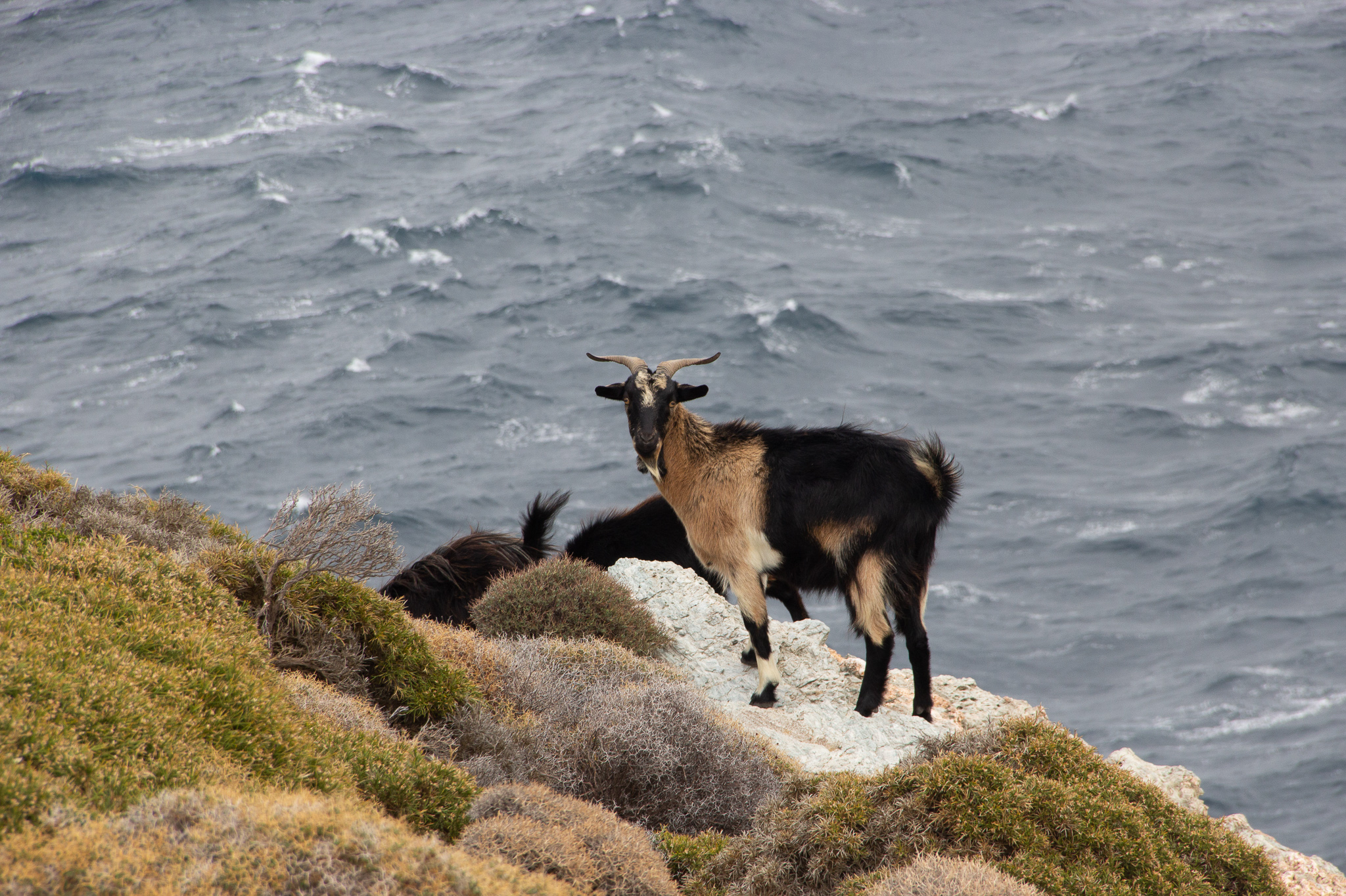
A recurring theme: goat 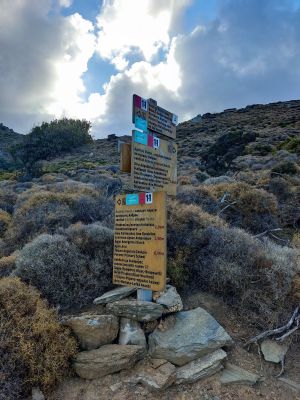
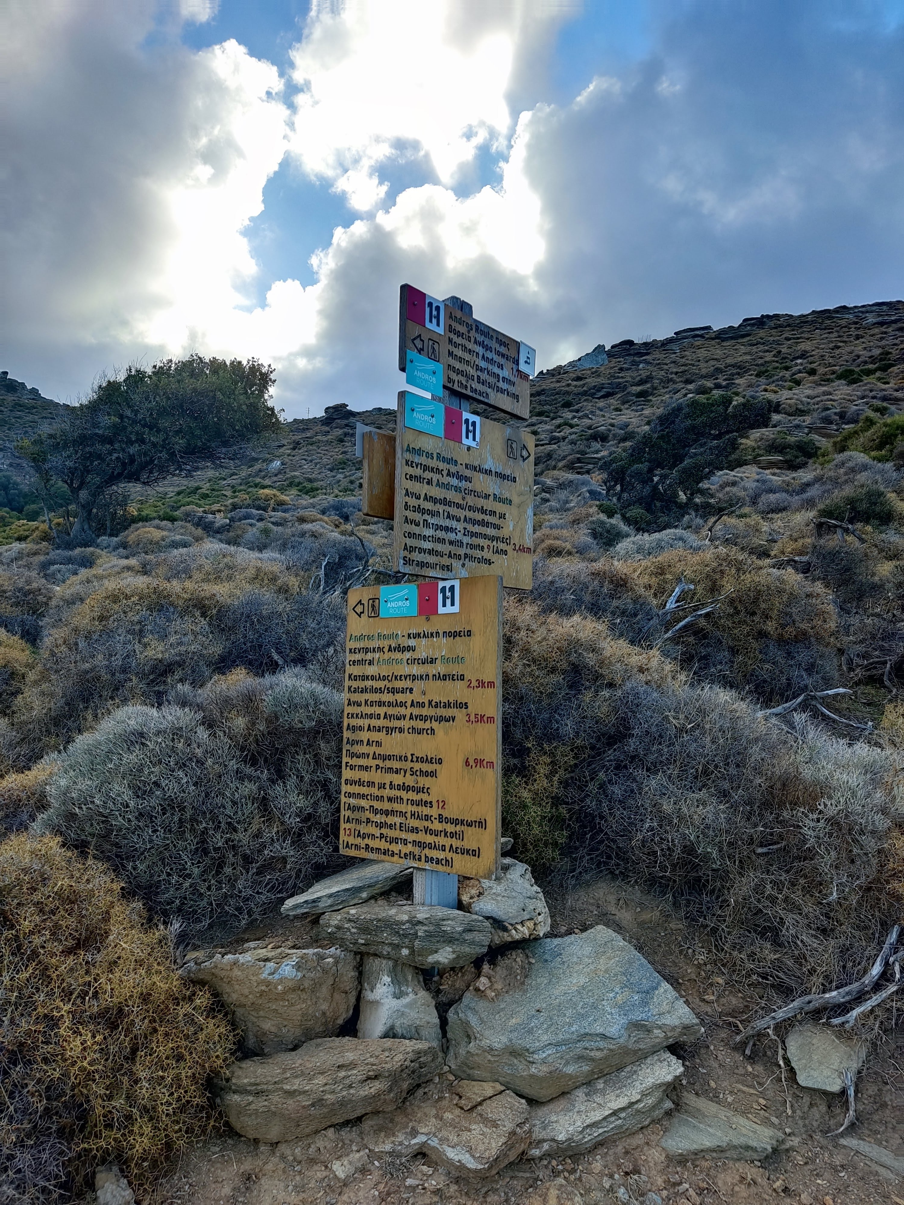
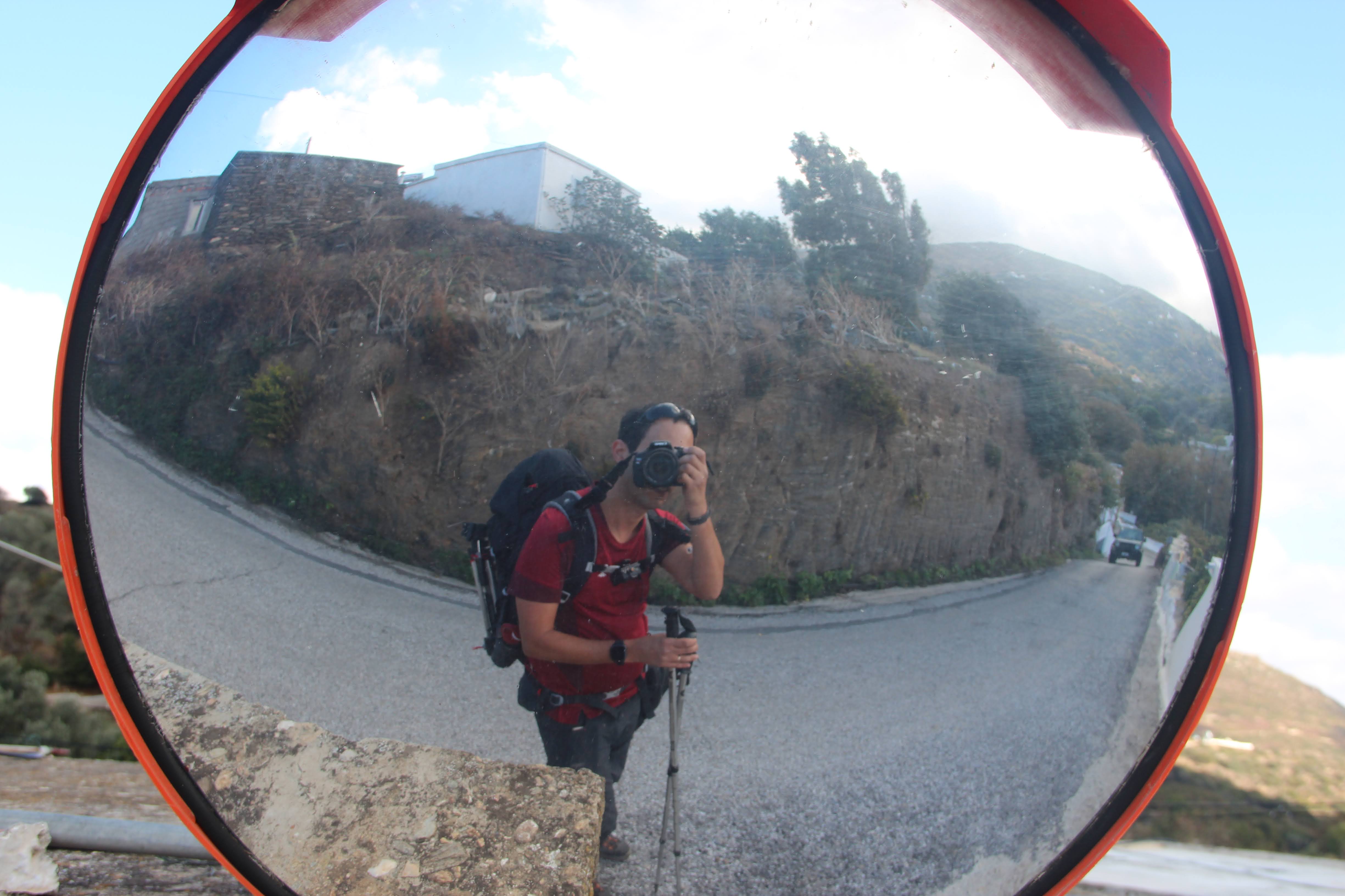
A fork in the road. The signage was excellent all through the week. 


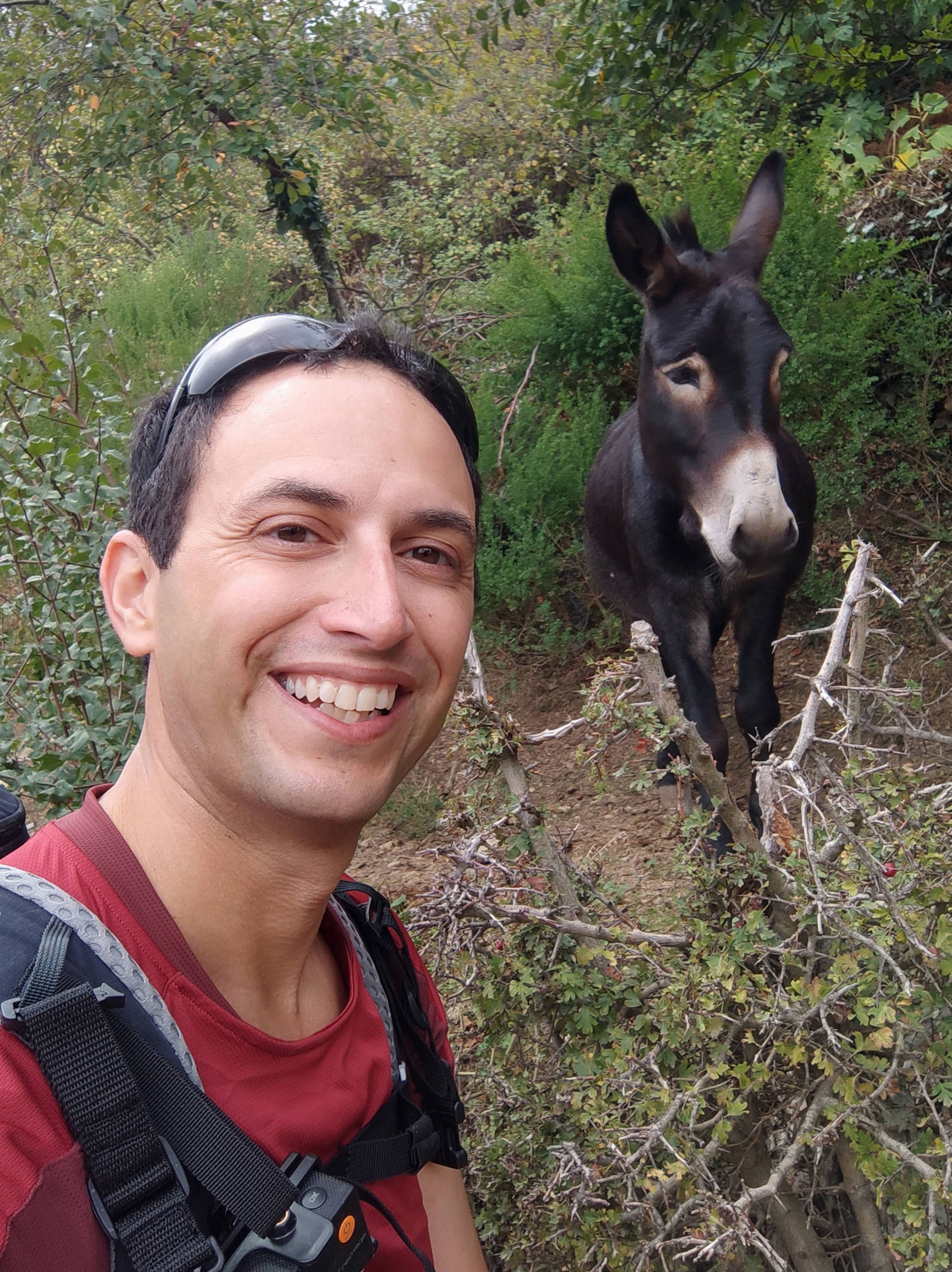
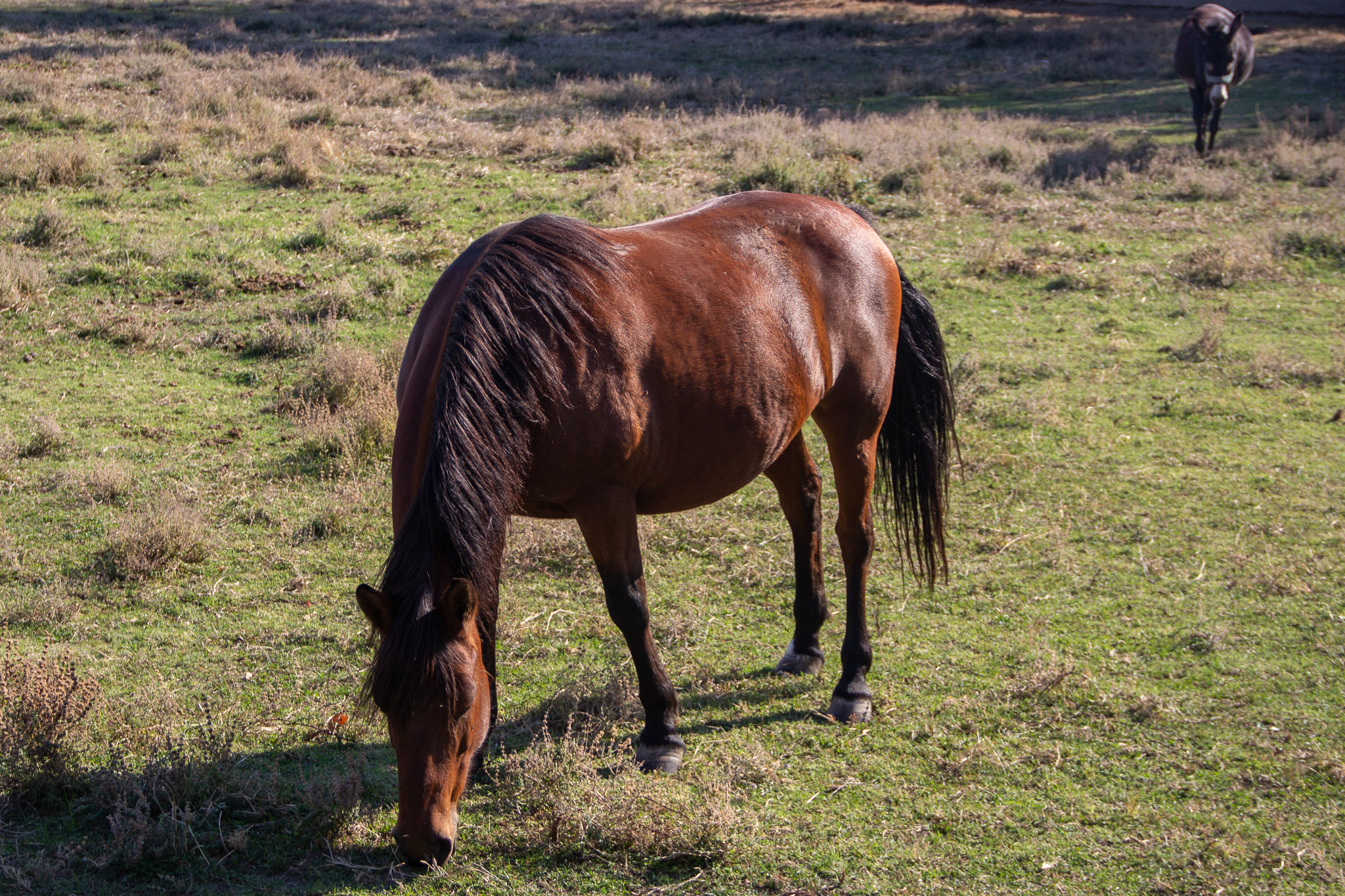
I arrived at the village of Arni at lunchtime and headed to the Magic Mountain, the island’s animal shelter, where I rented the Magic Room for the night. I had a lot of fun hanging out with the animals, especially the dogs, and the donkeys.
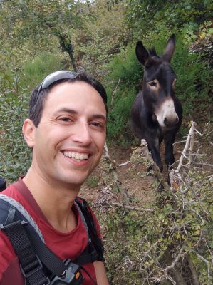
Jackass (and Donkey) 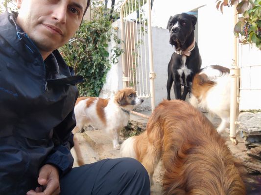
Tip: bring some dog treats 🙂

Day 2: Arni to Chora (Andros Town)
- Routes: 12, 2
- Total Distance: 15.8km
- Ascent: 813m, Descent: 1,209m
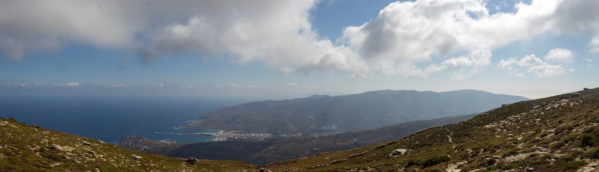
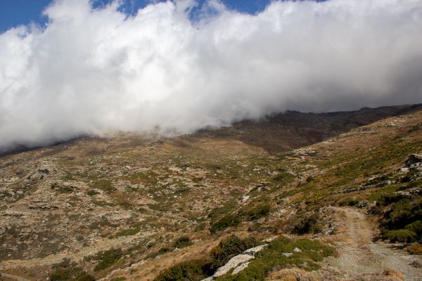
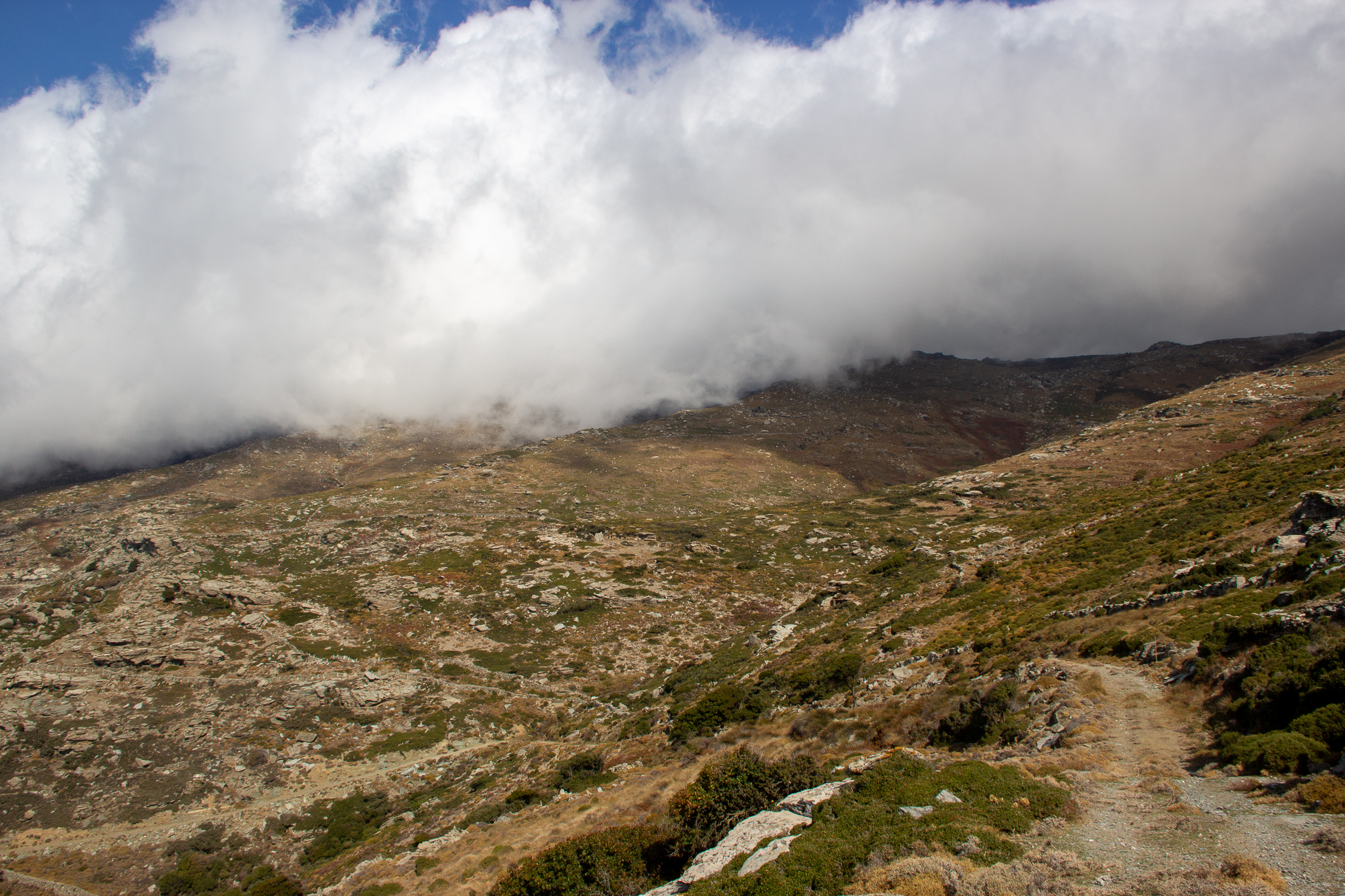
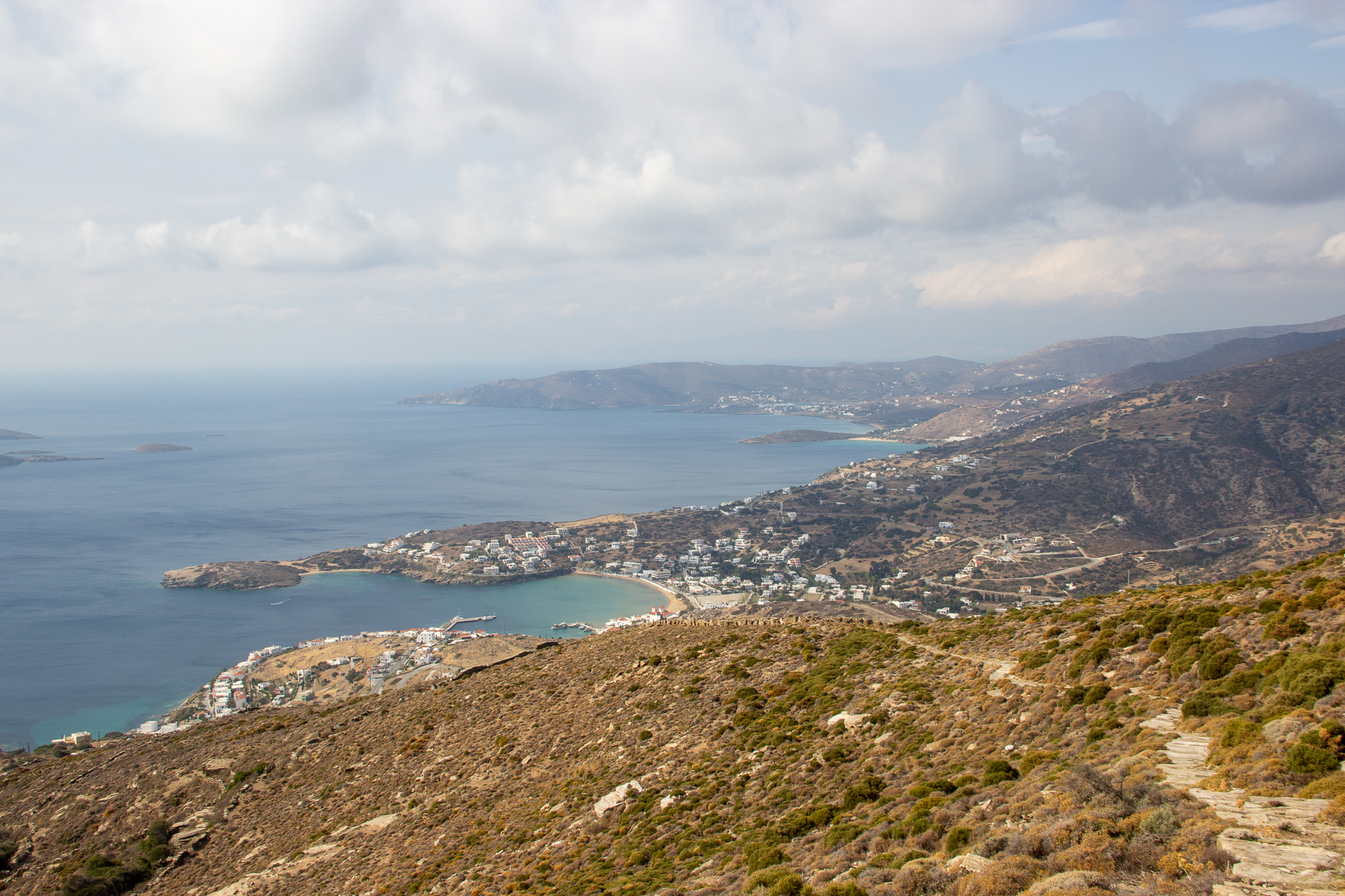
I started with the “day 4” hike from the official route to Apikia, then continued on route 2 all the way to Chora (Andros Town). The weather was quite windy, making for a challenging climb to (and descent from) Kouvara, Andros’ highest peak.
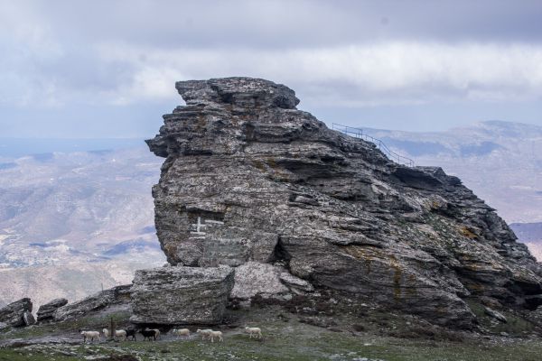
Óros Kouvára

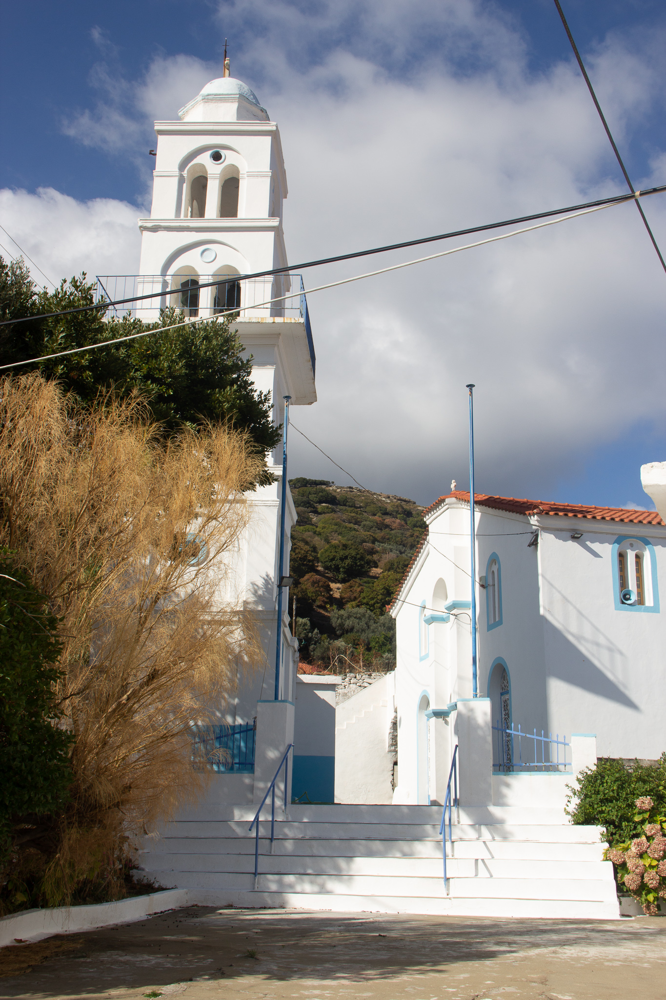

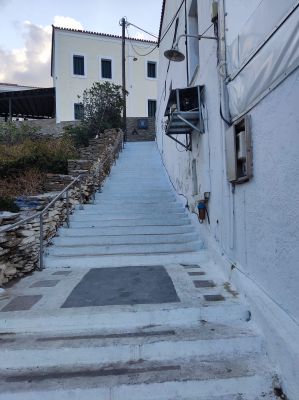
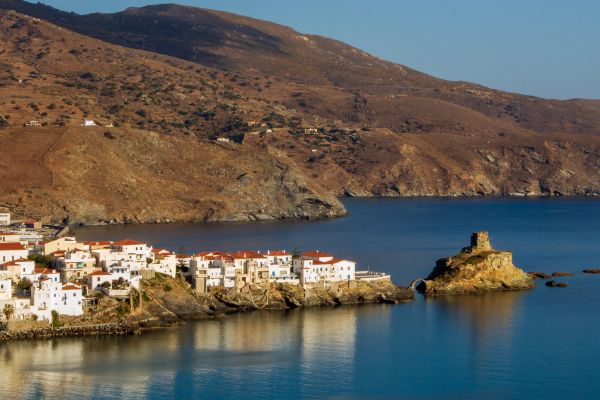
I was exhausted when I arrived in Chora and decided to stay there an extra day. Since it was already off-season, it wasn’t too difficult to change the hotel reservations I had already placed for the rest of the week.
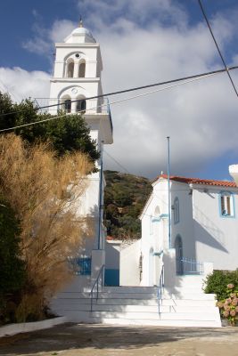
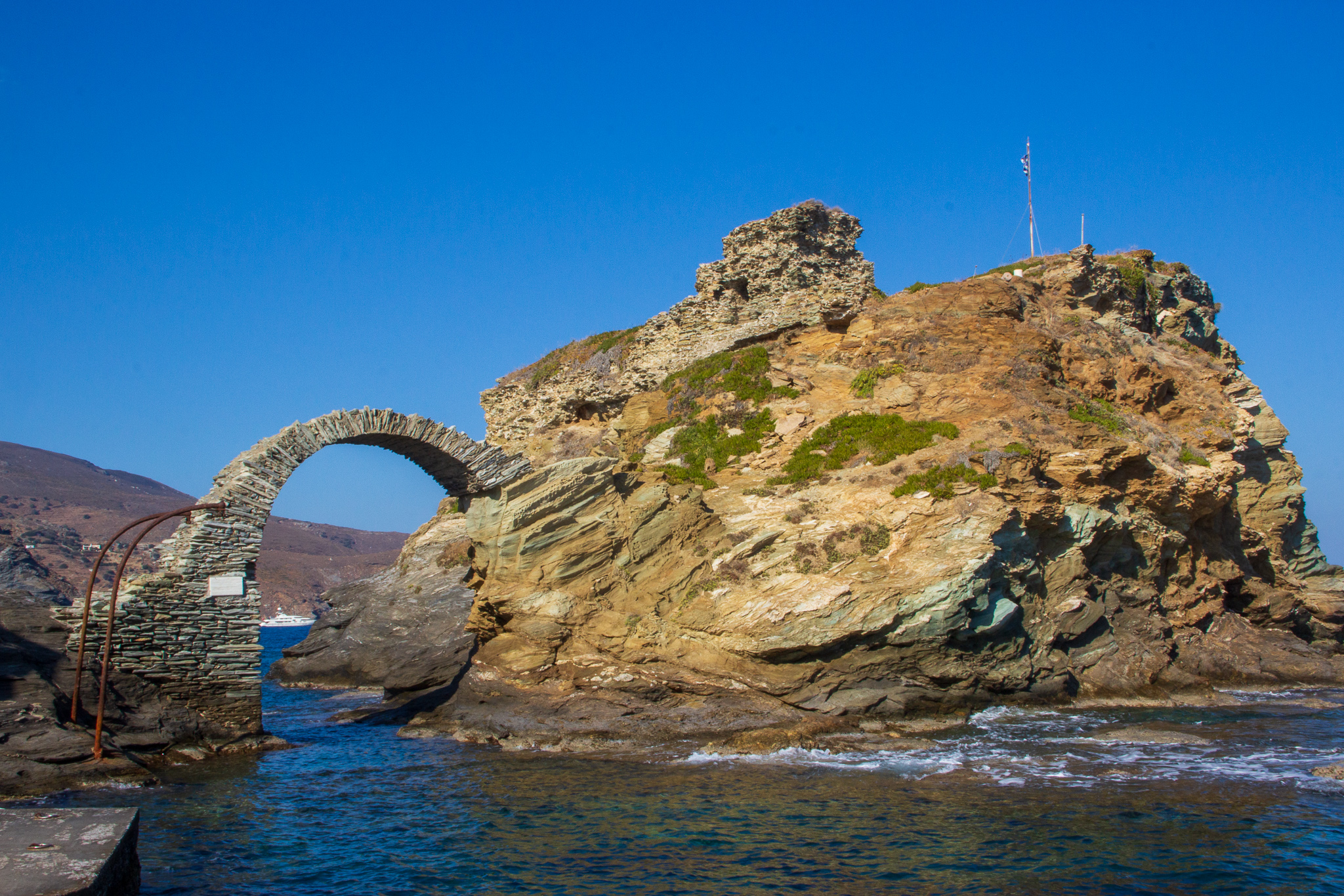
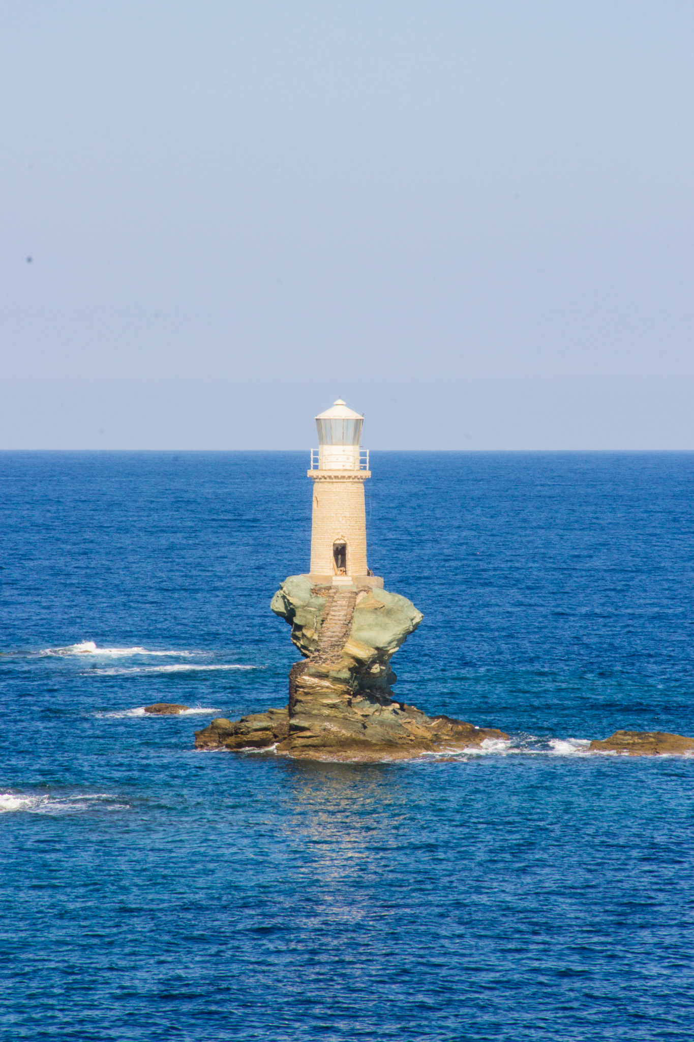
Day 3: Around Chora
- Route: 17
- Total distance: ~6km
Rest day! Leaving my backpack in the hotel, I enjoyed a leisurely walk on the circular route 17 through Livadia.
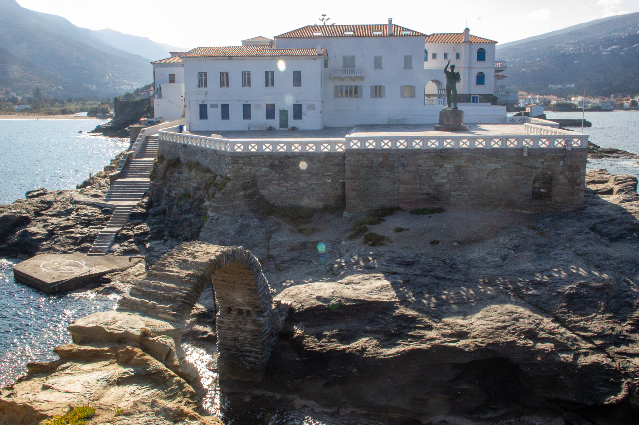
Later I strolled through the main village, crossing the bridge to the Andros Castle to get a nice view of the beautiful Tourlitis Lighthouse.
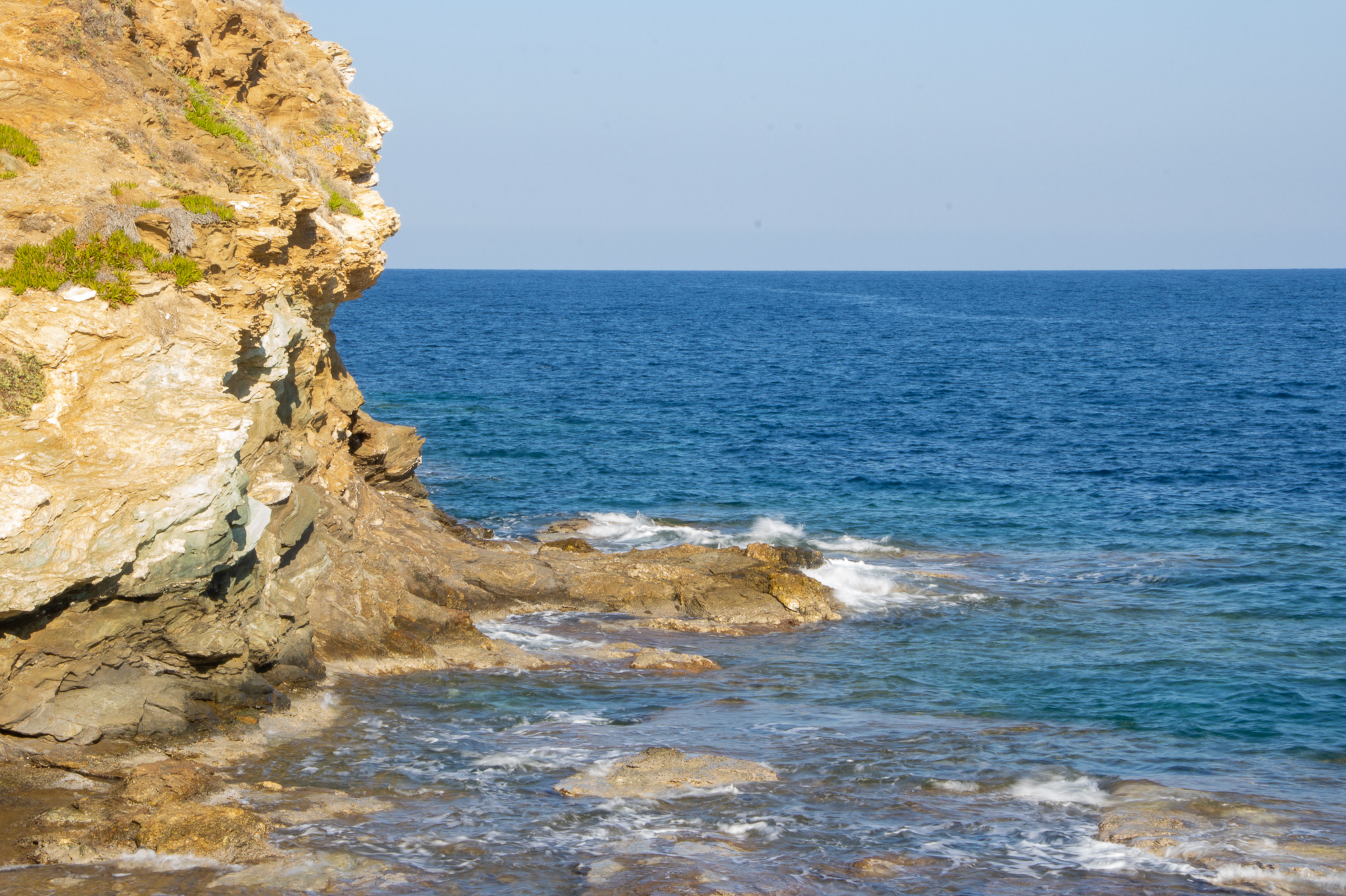
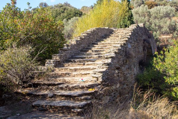
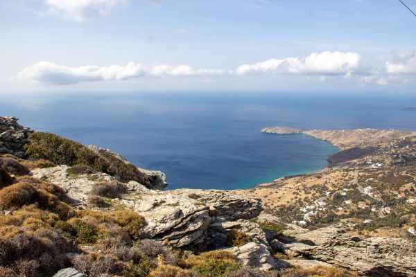
Day 4: Chora to Ormos Korthi
- Routes: 3, 3b
- Total distance: 14.1km
- Ascent: 704m, Decent: 743m
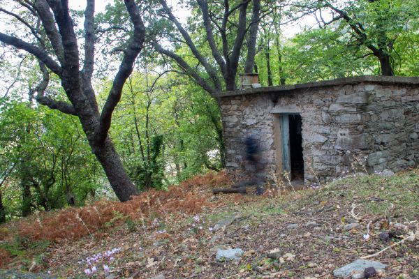
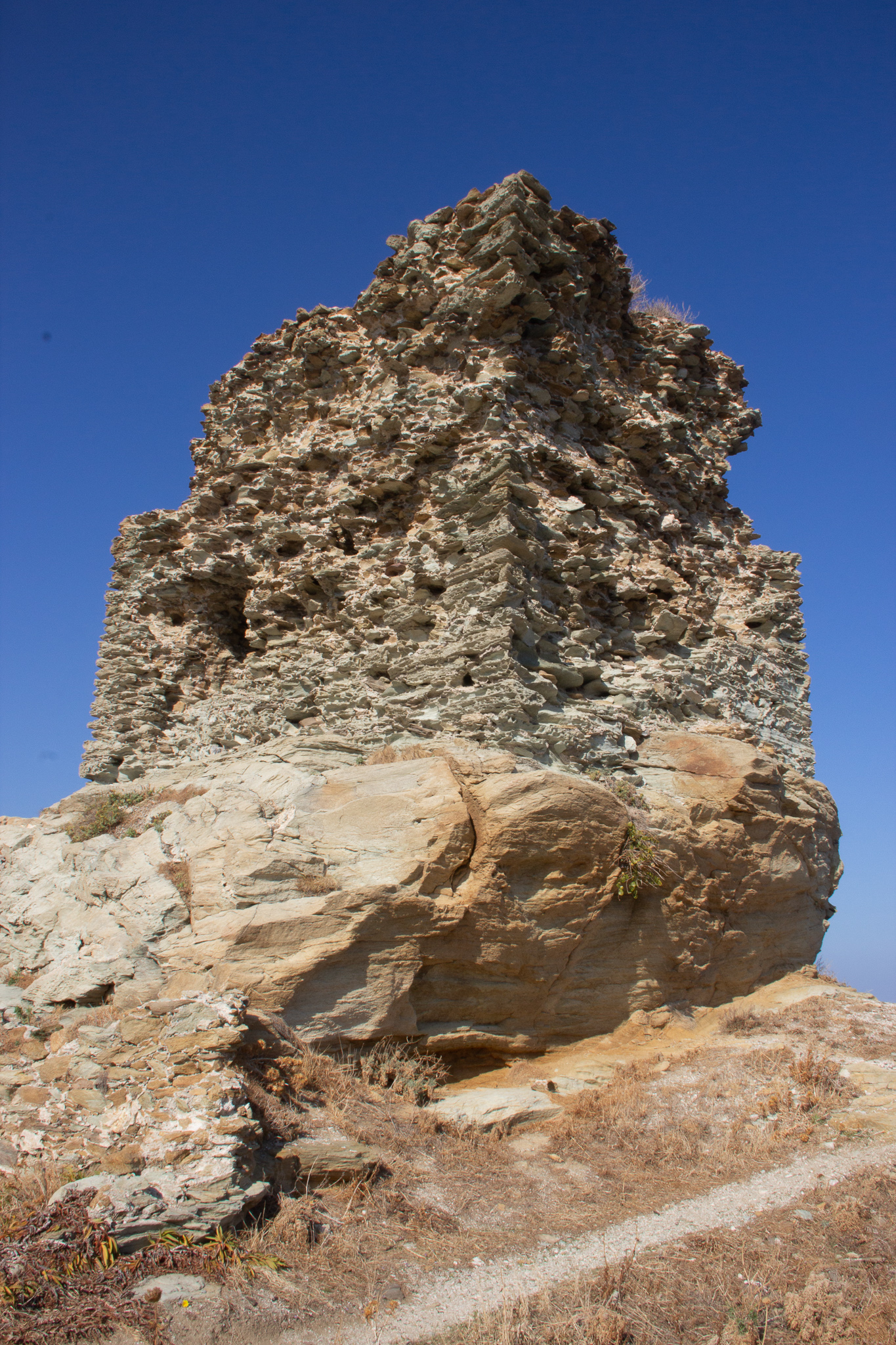
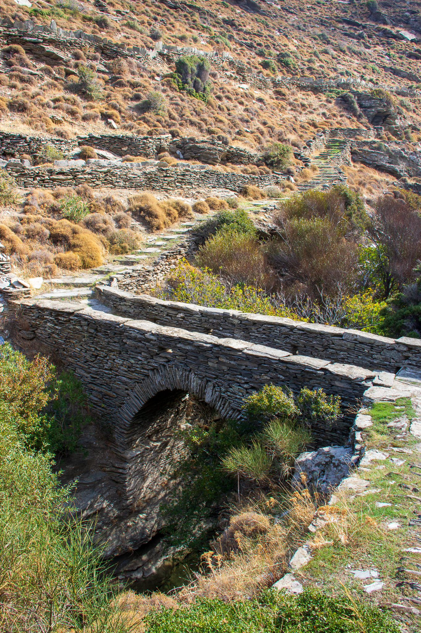
As I set off from Chora to Korthi, I followed route number 3 all the way, only making a detour with route 3b to visit the castle of Faneromeni. Following the advice found in this excellent post, I stashed my backpack in one of the goat sheds at the start of 3b, which made the steep climb to the castle much easier.
Chora from route #3 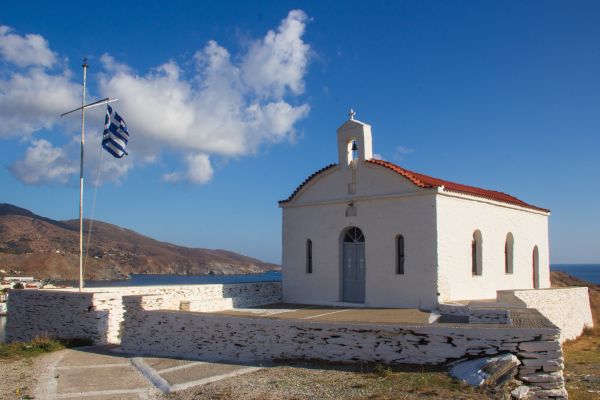


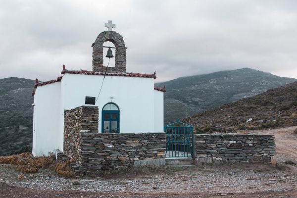
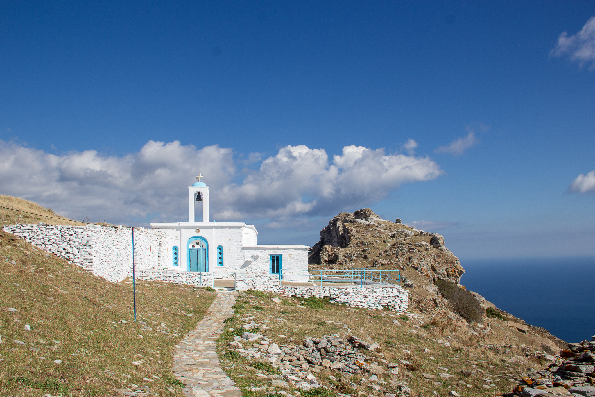
The church next to the castle 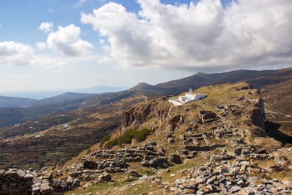
Castle ruins and the church 
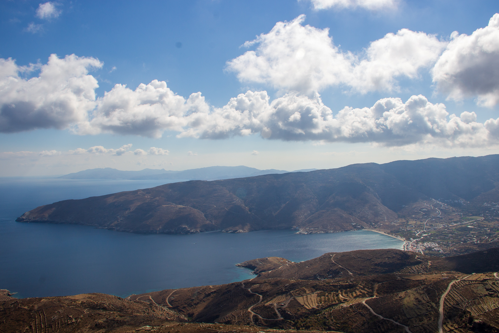
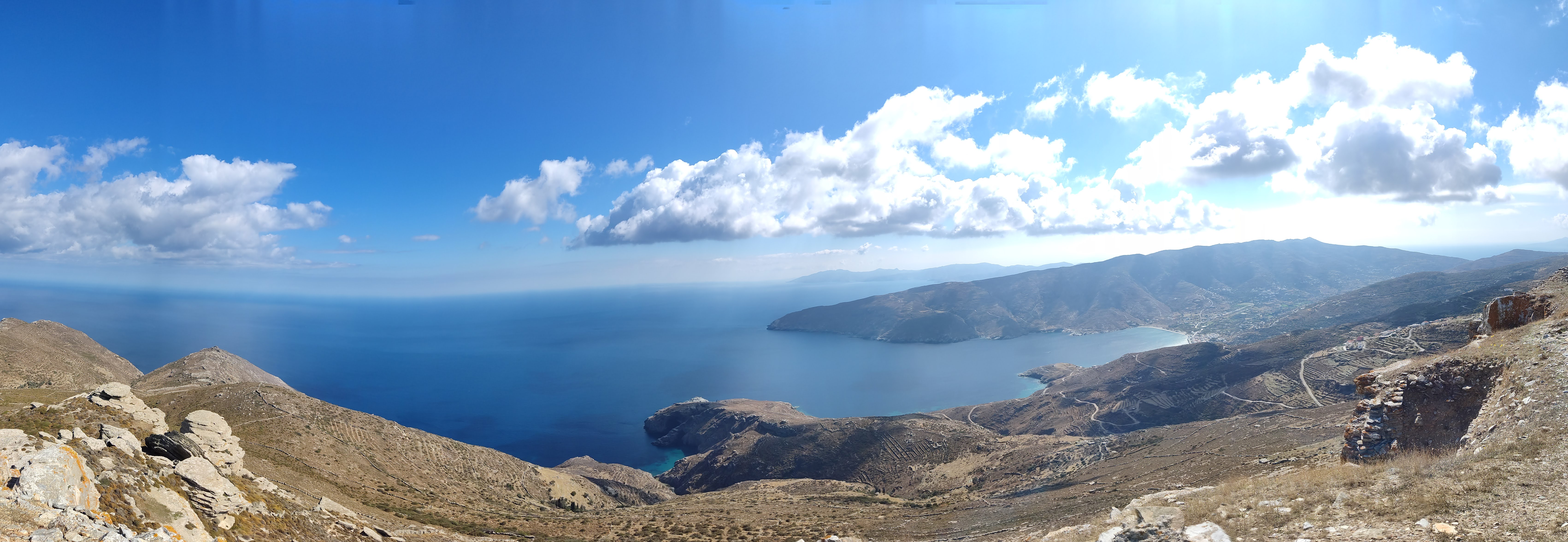
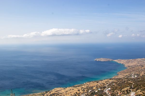
View of Korthi


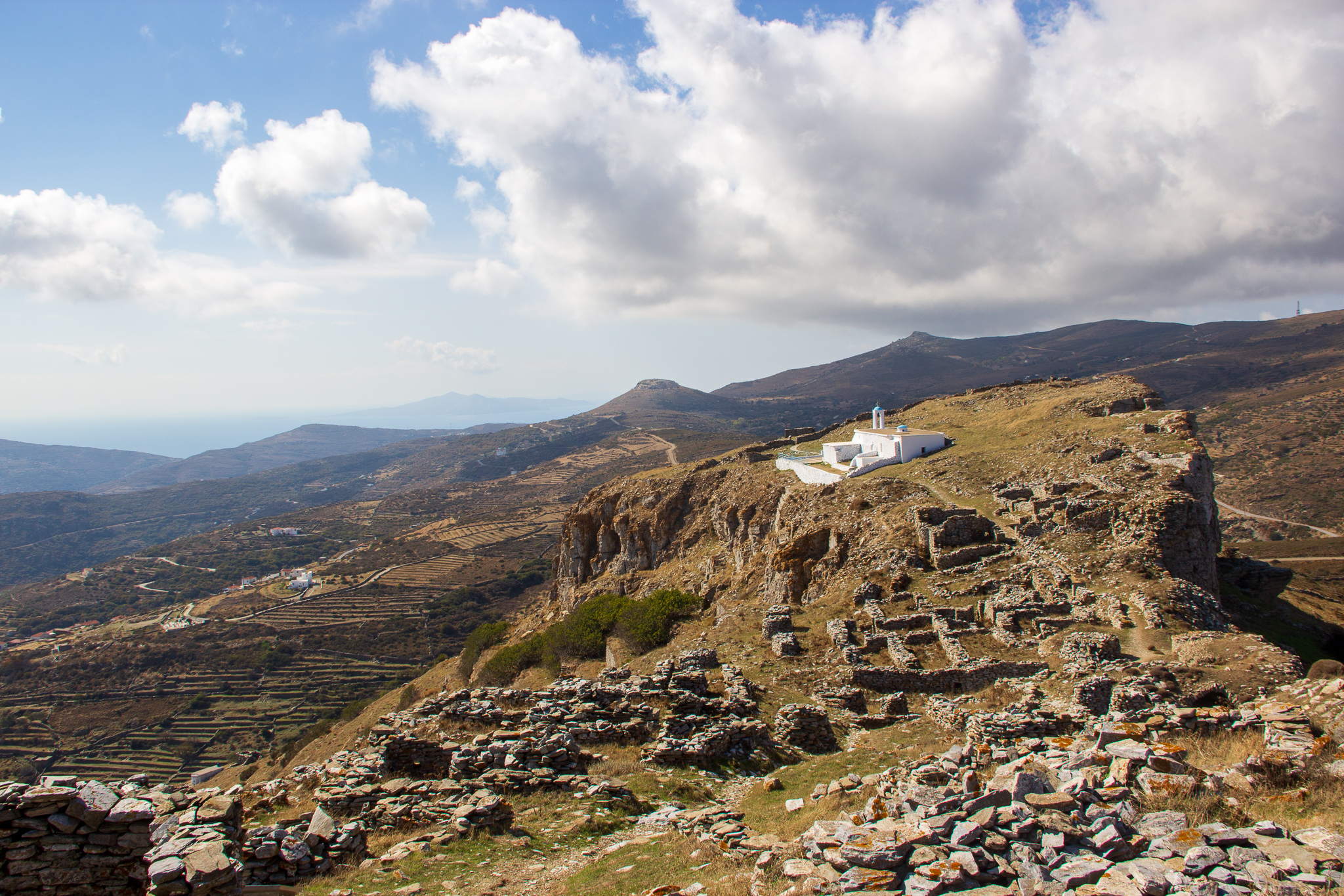
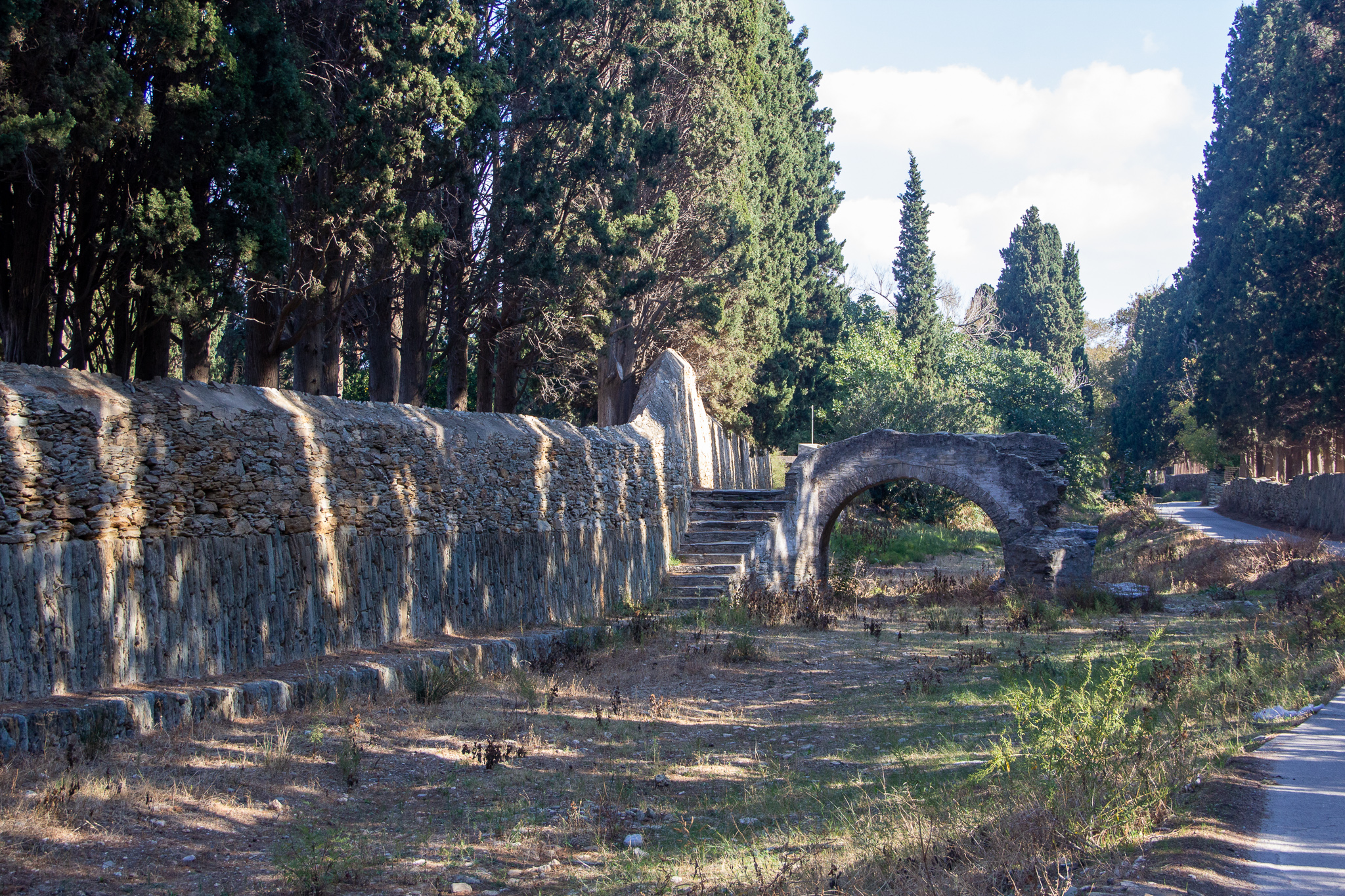
The detour was well worth it: throughout the castle were panels with historical and archeological information. The views were magnificent.
Korthi’s beach is one of the most beautiful I’ve ever seen. It was pretty cold already, but I couldn’t resist a little swim in the crystal clear water. Later that evening, I went for a walk around the village.

Day 5: Ormos Korthi to Menites
(via Panachrantou Monastery)
- Routes: 5,
18, 1 - Total distance: 14.45km
- Ascent: 880m, Decent: 707m
My original plan was to follow route 5 to Vrachnou, then take routes 18 and 1, including a detour to the Panachrantou Monastery.
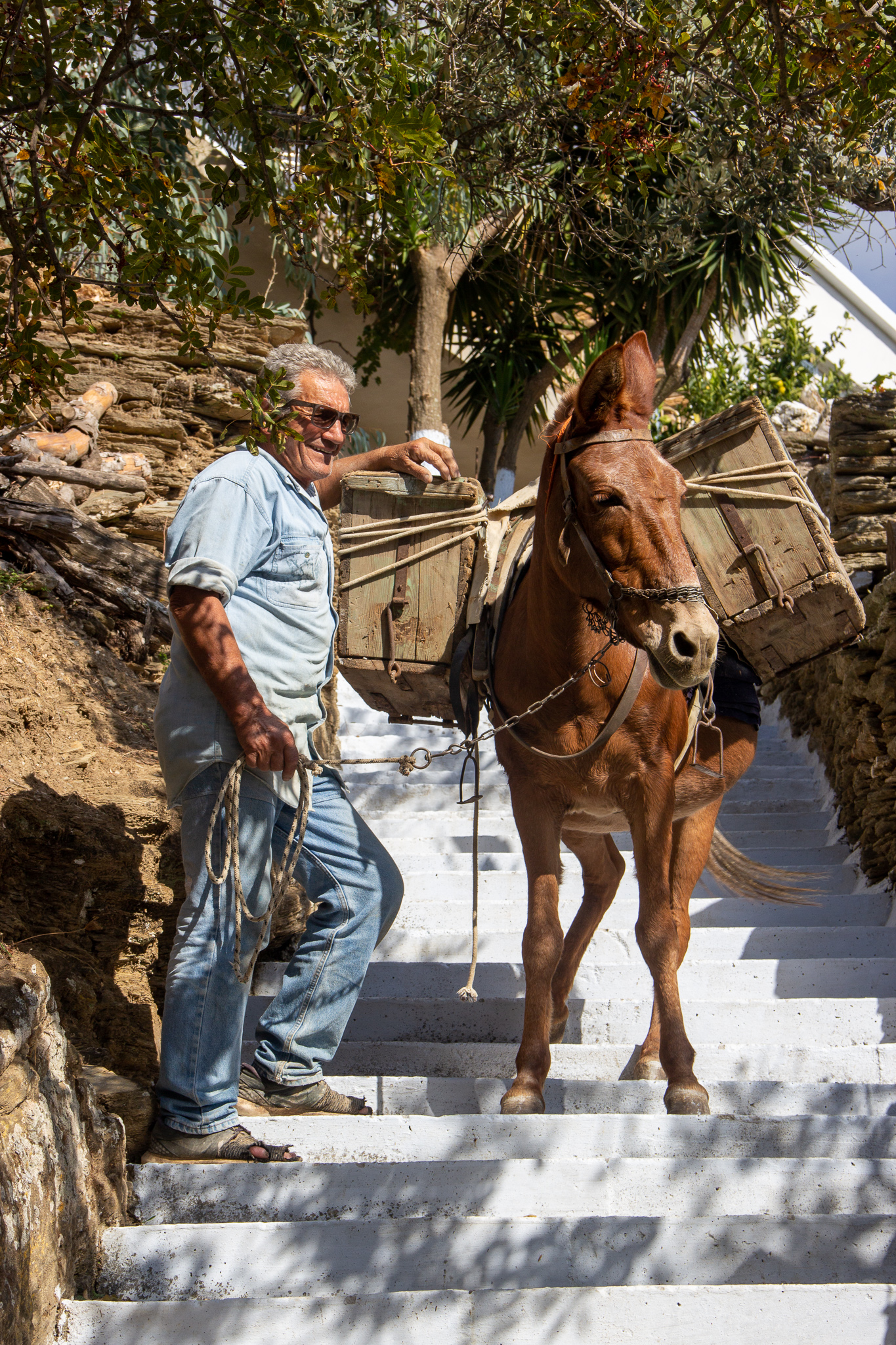
As I climbed the many steps uphill from Korthiou, I felt exhausted: the day was hot and my backpack heavy. When I reached the village of Mesa Vouni, I went off the hiking trail and took the road directly to the monastery. After a quick visit, I continued on route 1 to Menites.

Transporting construction materials 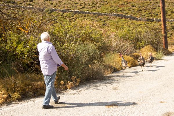
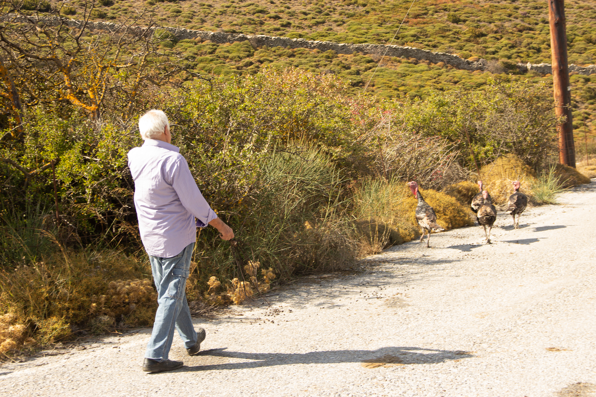
The turkey herder 
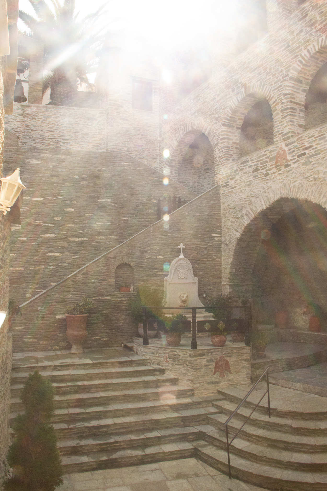
Light through the monastery 
A monastery cat 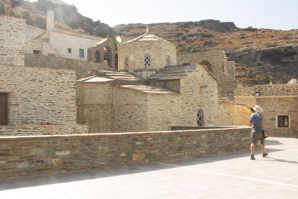


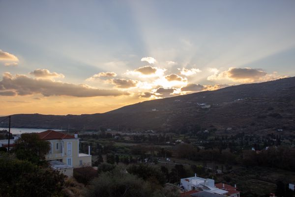
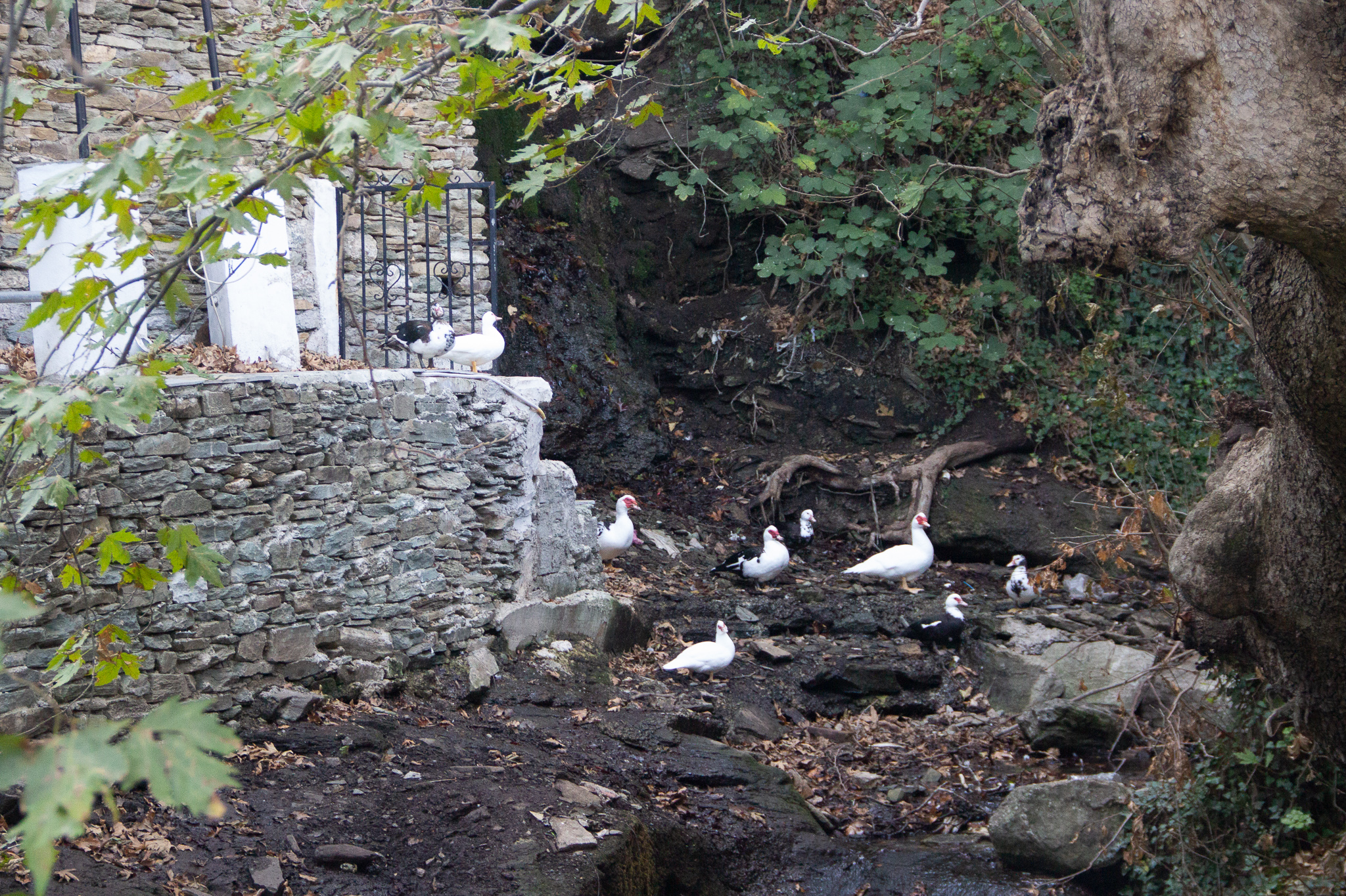
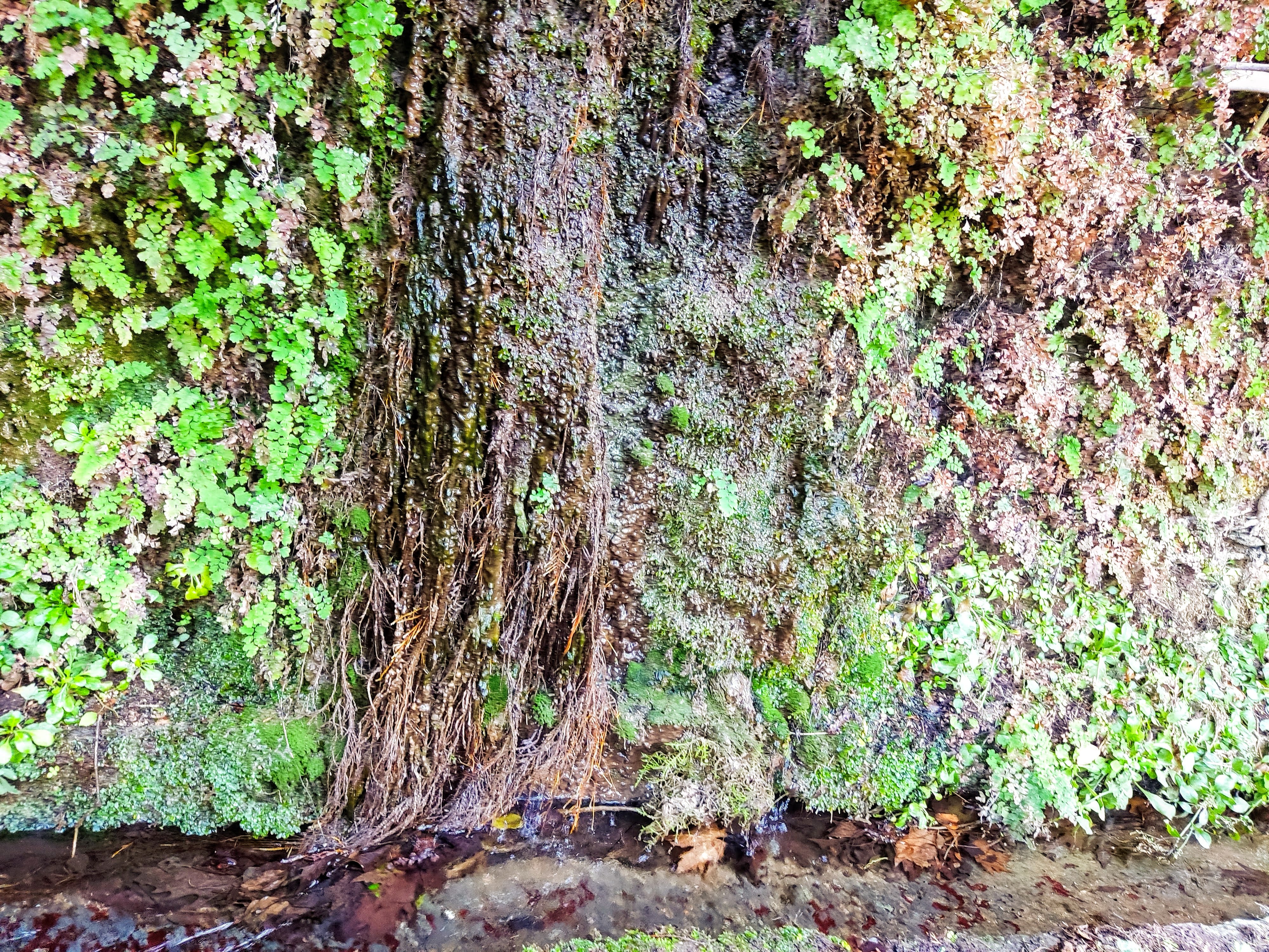
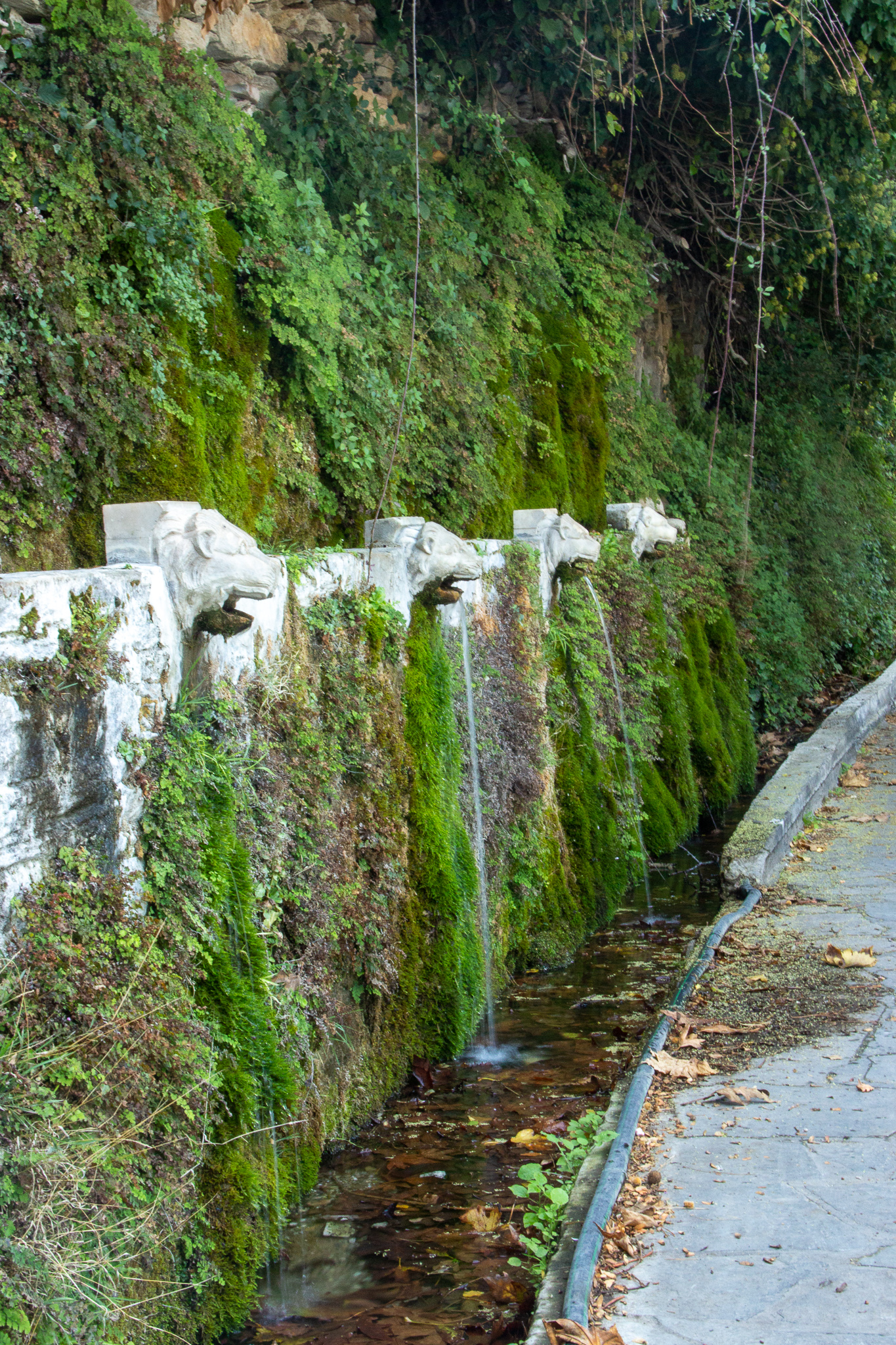
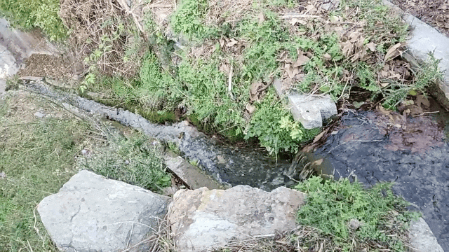
The closer I got to Menites, the more water was present everywhere: streams flowing, gently leading me to the end of the route.
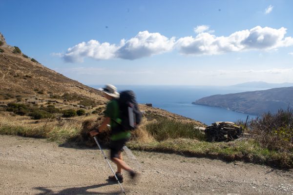
Day 6: Menites to Batsi
- Route: 9b, 9, 11a, 11
- Total distance: 17.14km
- Ascent: 650m, descent 825m
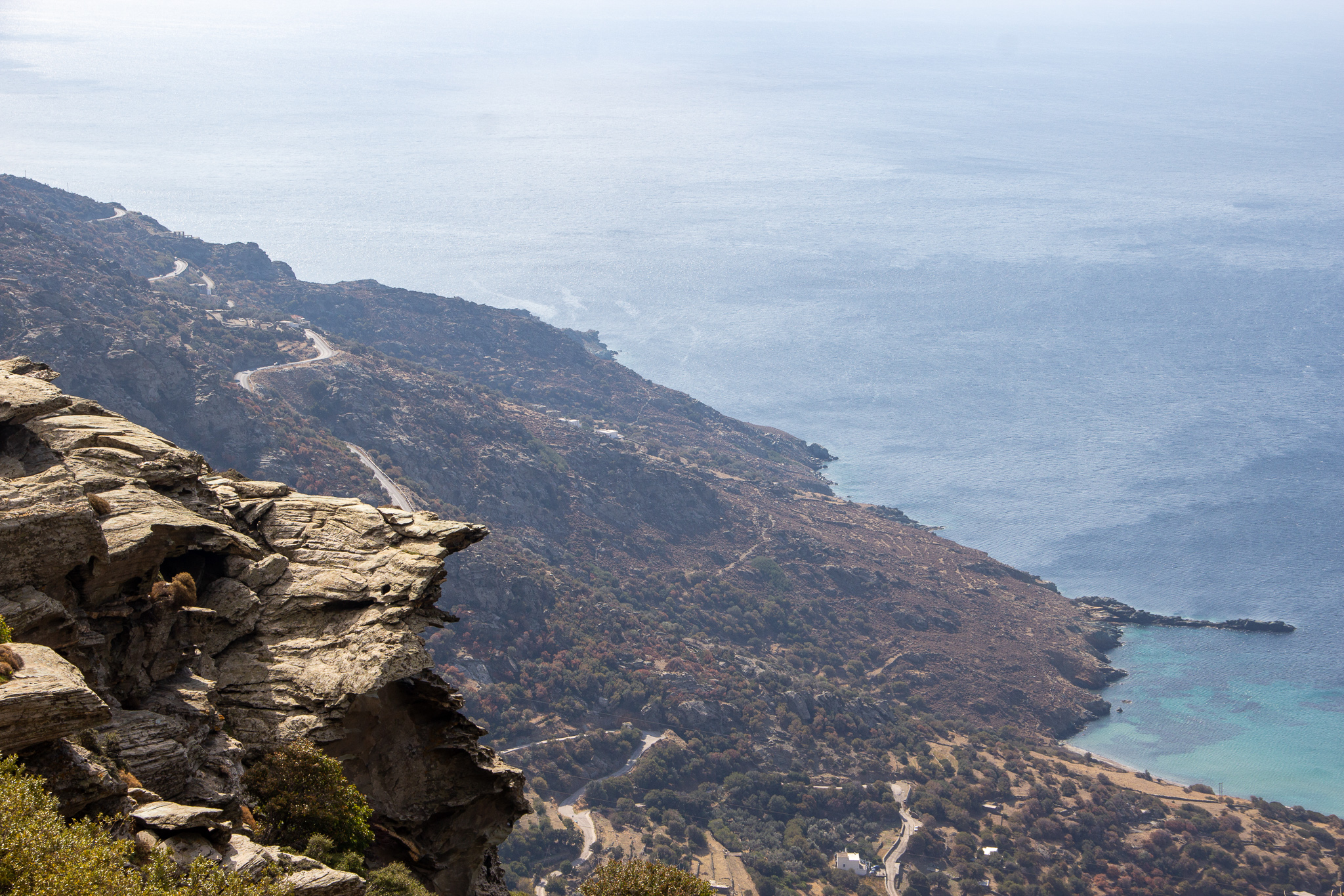
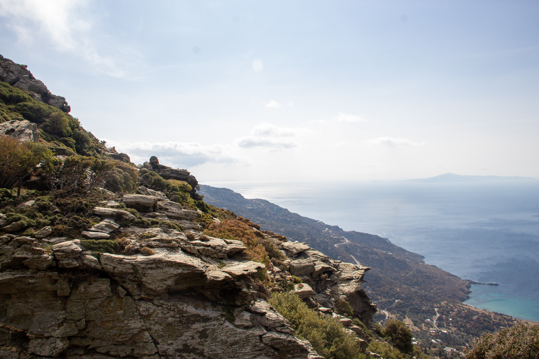
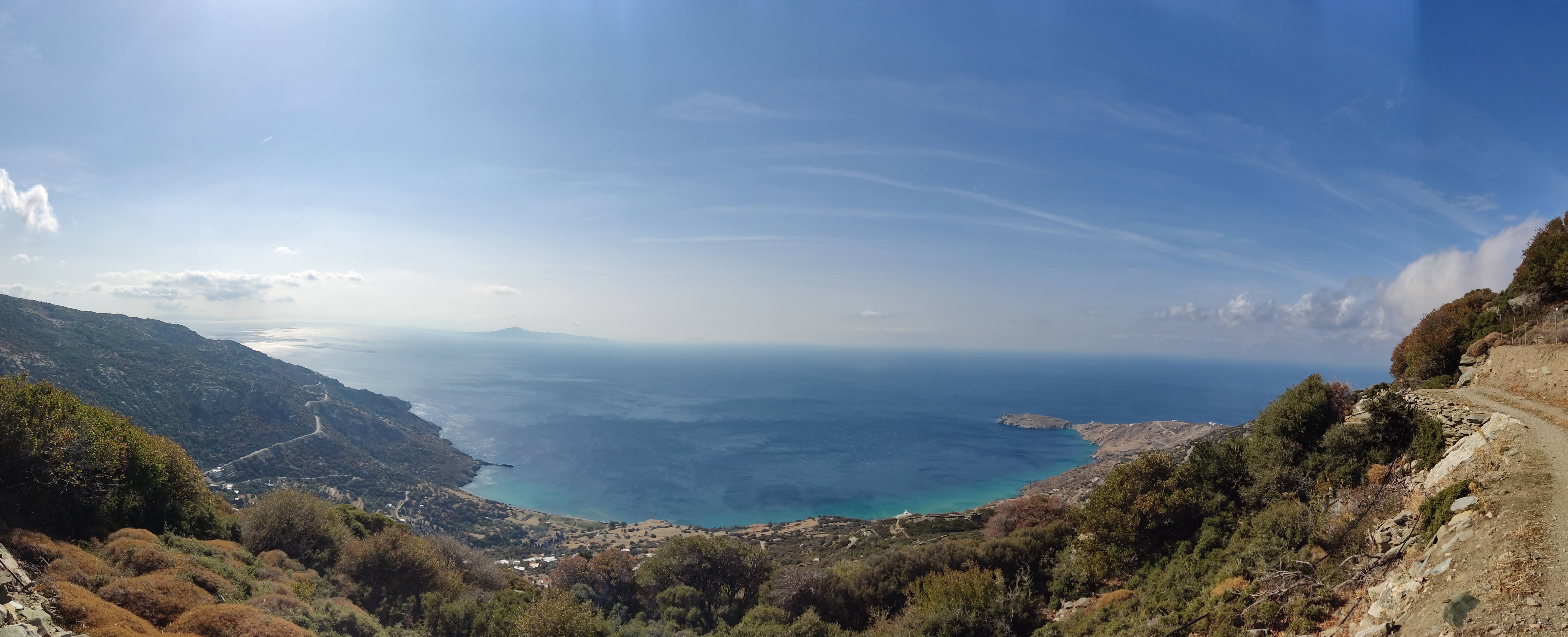
This day’s view was breathtaking – especially after the initial climb from Menites to Pitrofos when road 9 takes you through the cliffs above the western seafront of the island.
I initially planned to add a detour to Paleiopolis on route 9a but decided to skip it and do that another day.
Early morning sunshine 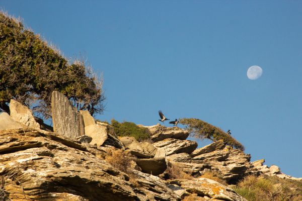


Batsi and Gavrio from the distance


When I reached Batsi, I took a cab to Agios Petros, where I’d spend the next couple of nights.
Day 7: Agios Petros to Gavrio;
Zorkos Cave, Paleiopolis
- 3 seperate hikes
- Routes: 15 and 14, 20, 9a
- Total distance: 13.5km
- Ascent: 713m, descent 715m
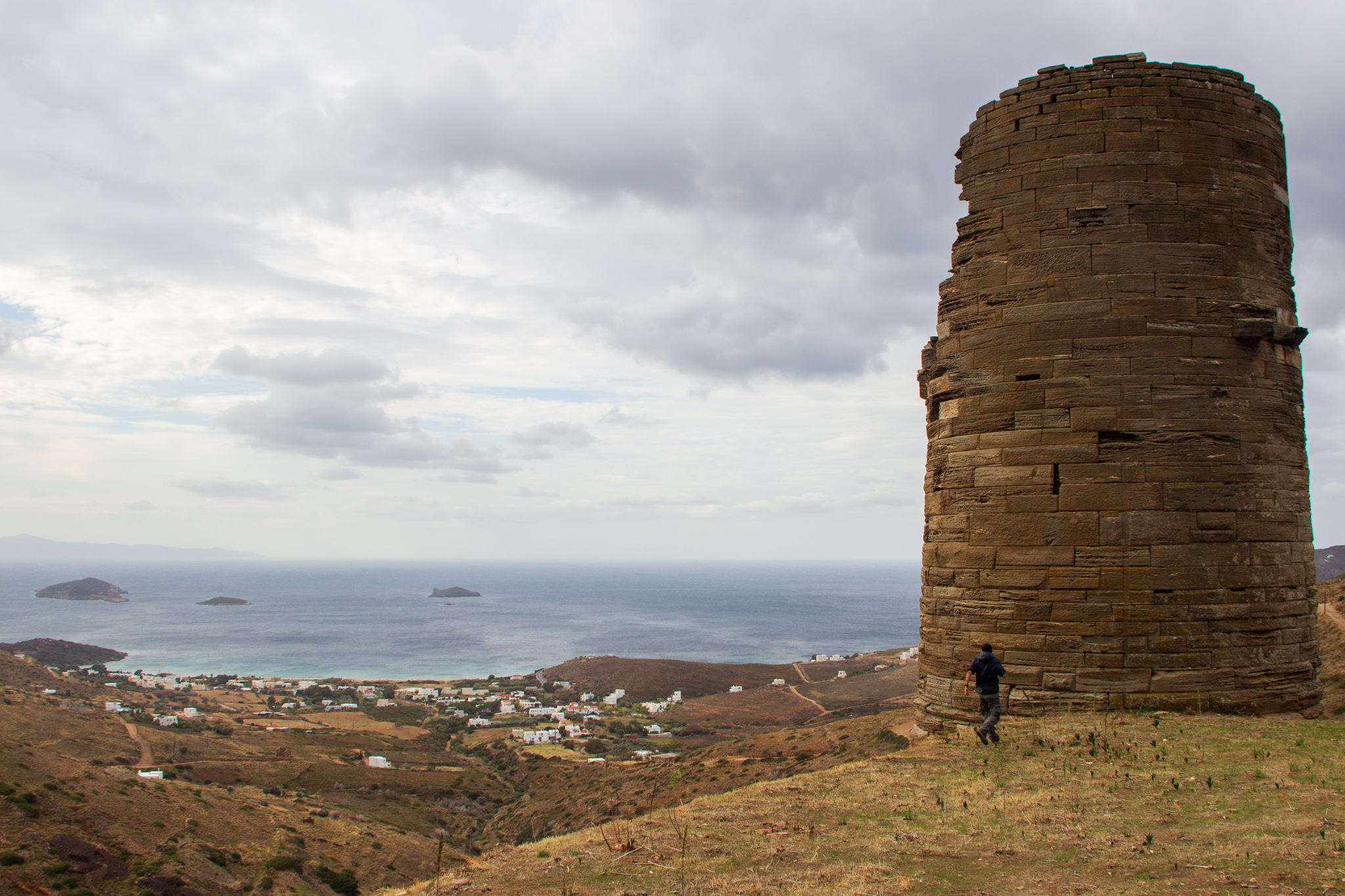
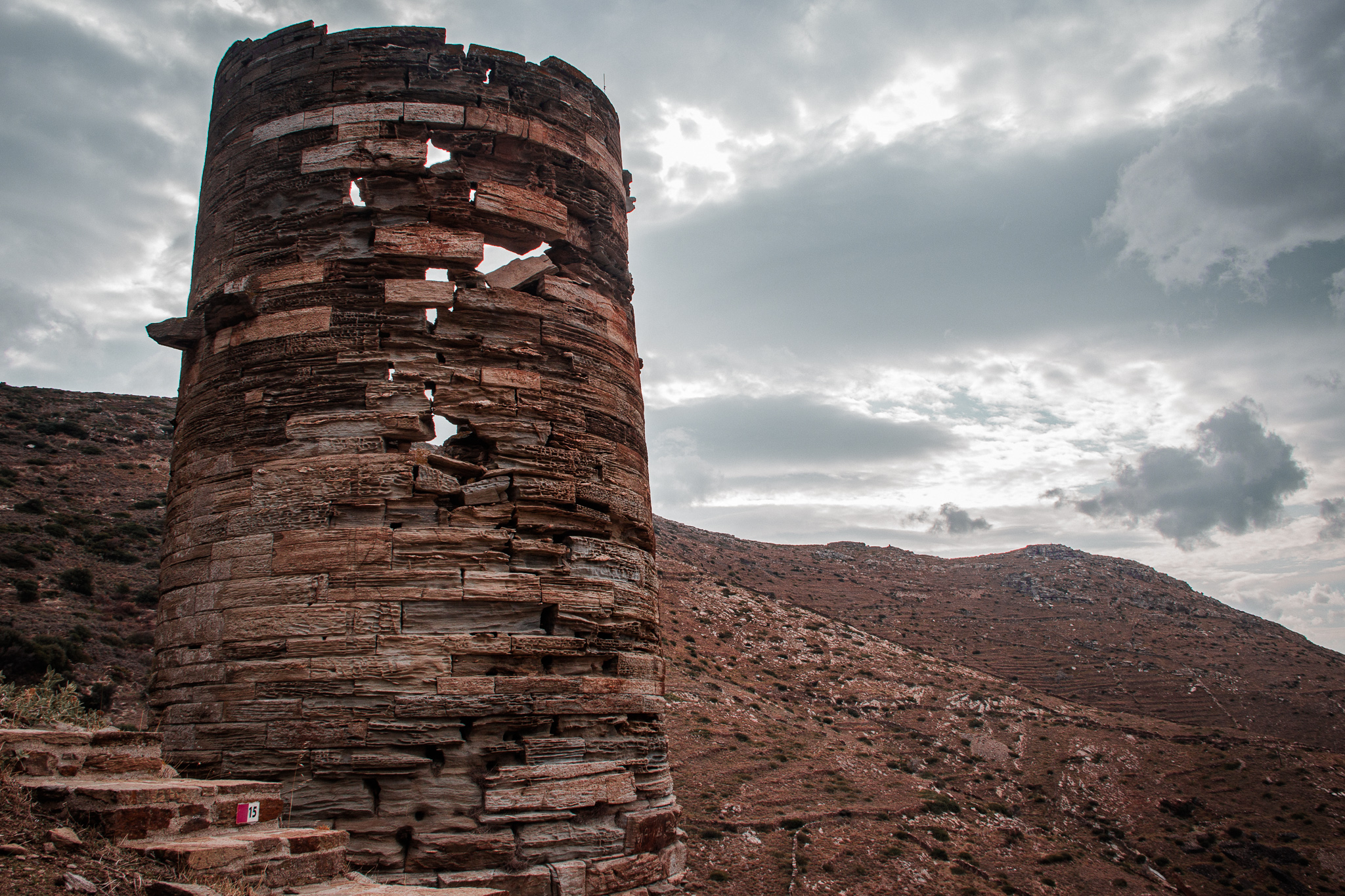
I started the day with a hike from Agios Petros to Gavrio on route 15 (and a small part of 14), including a visit to the monumental Hellenistic Tower of Ano Agios Petros.

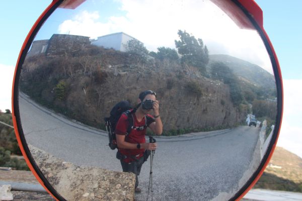
Ano Agios Petros (+me for scale) 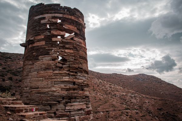
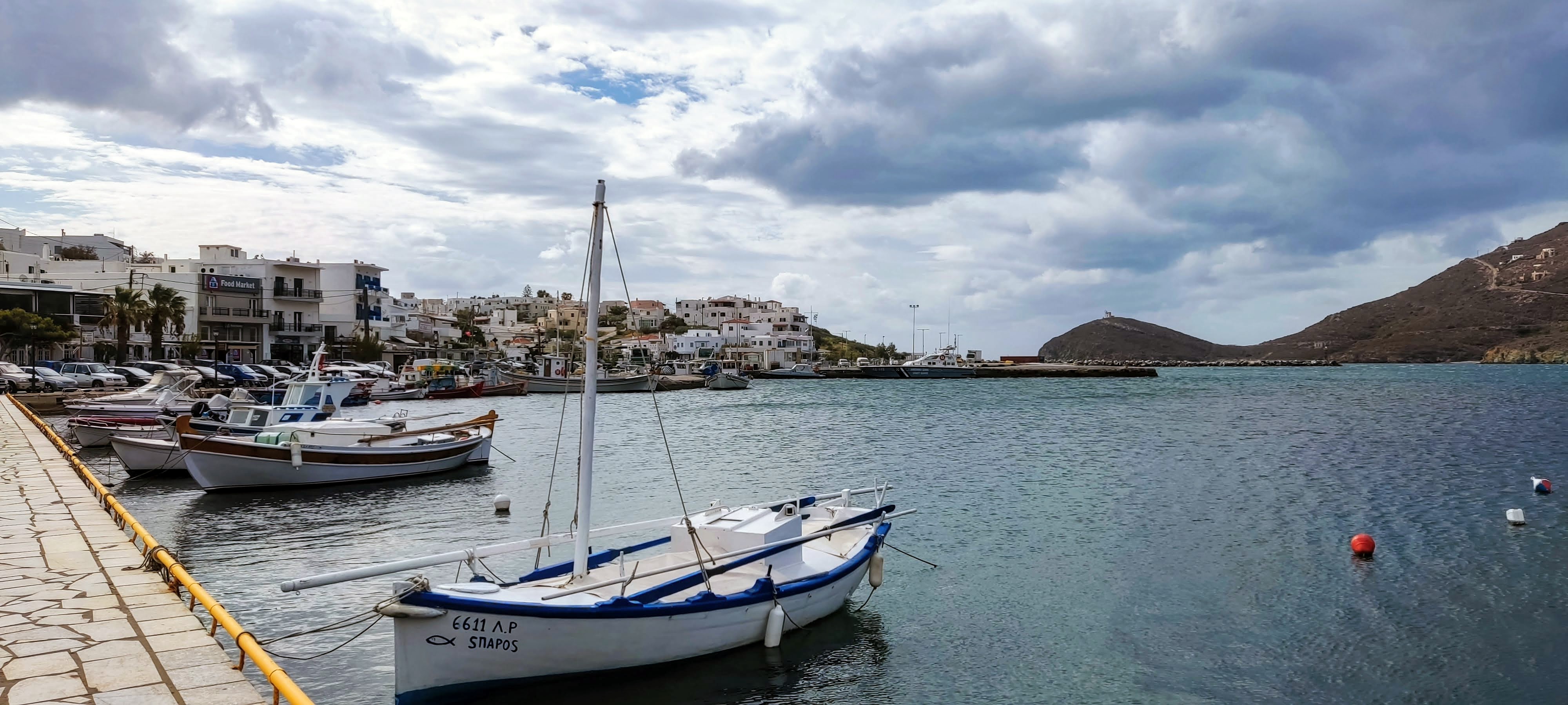
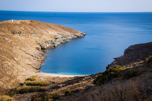
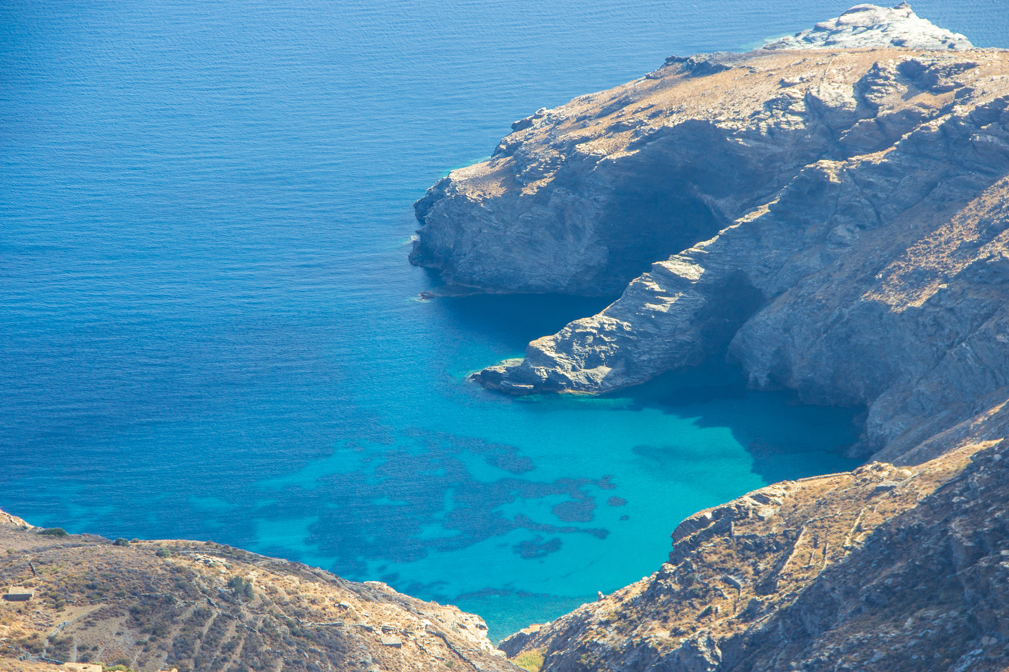
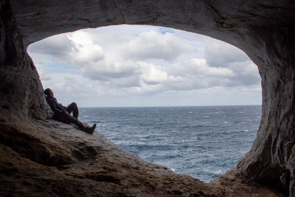
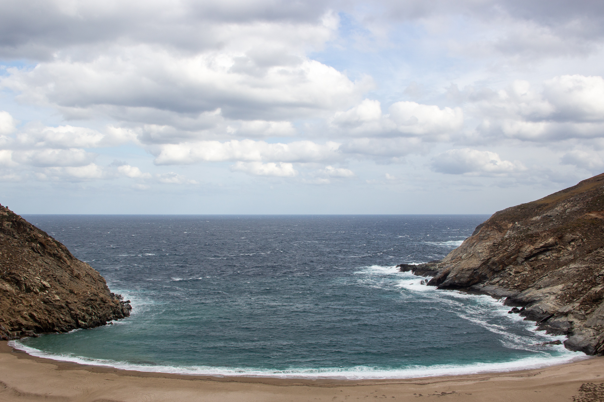
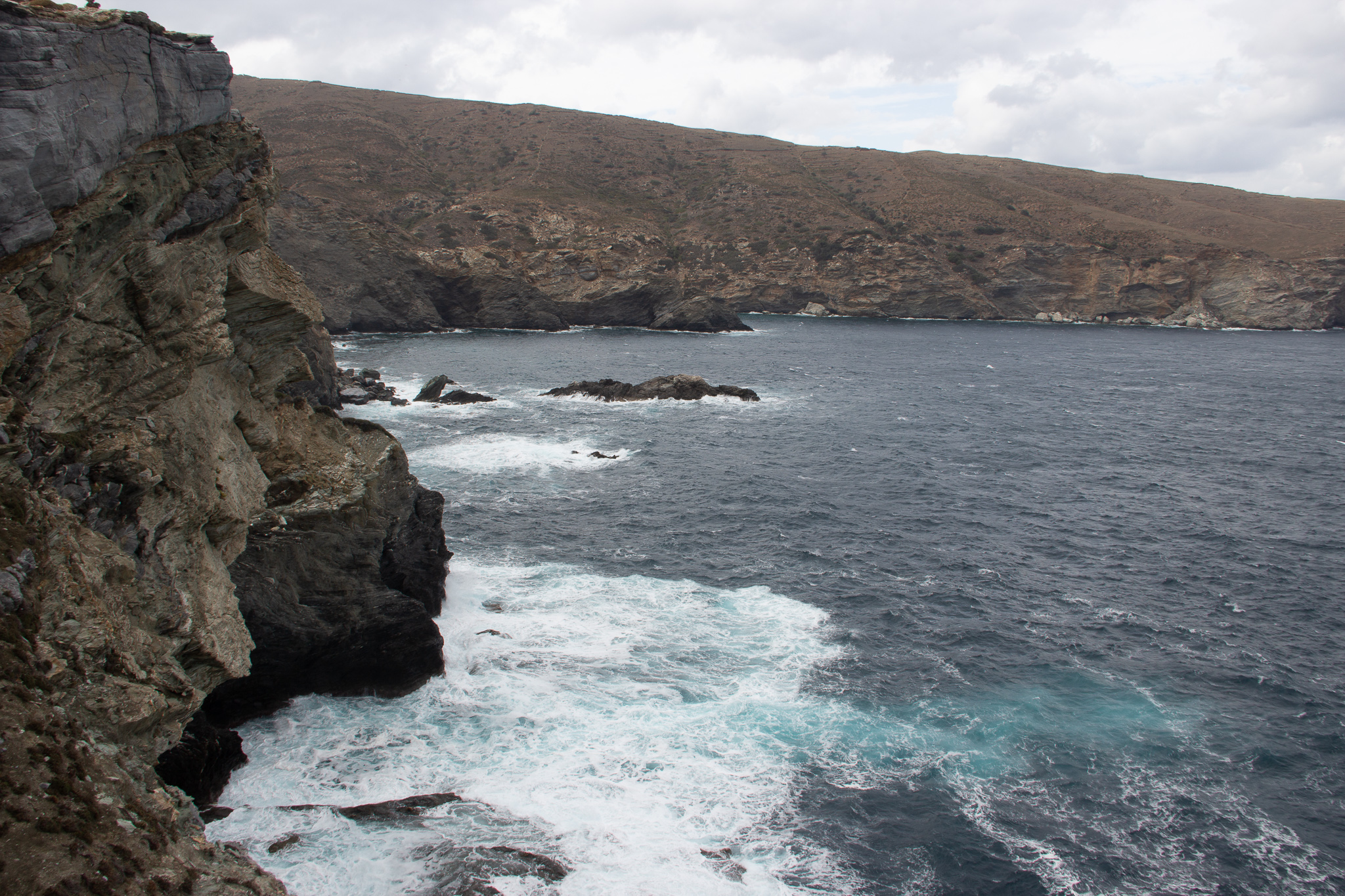
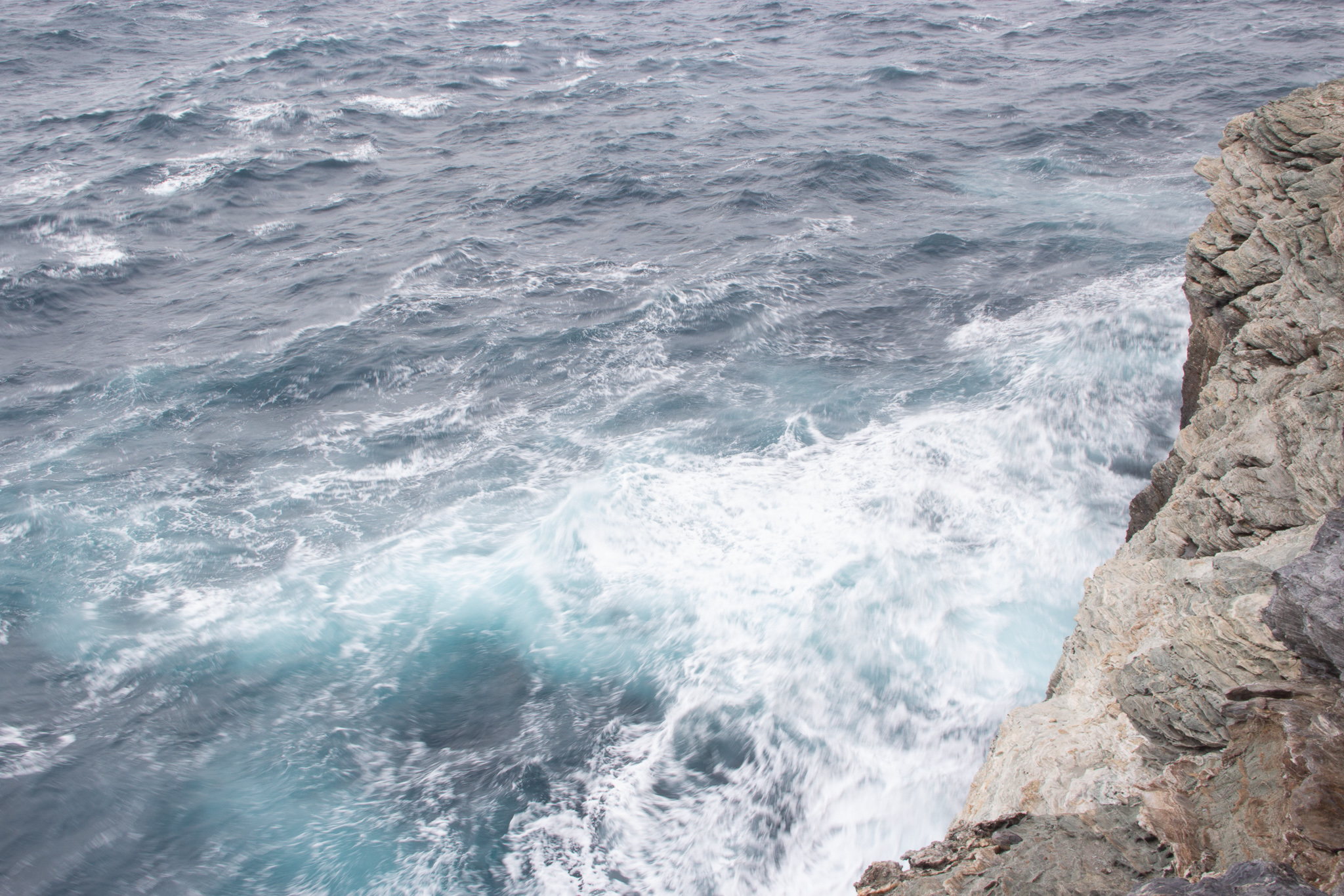
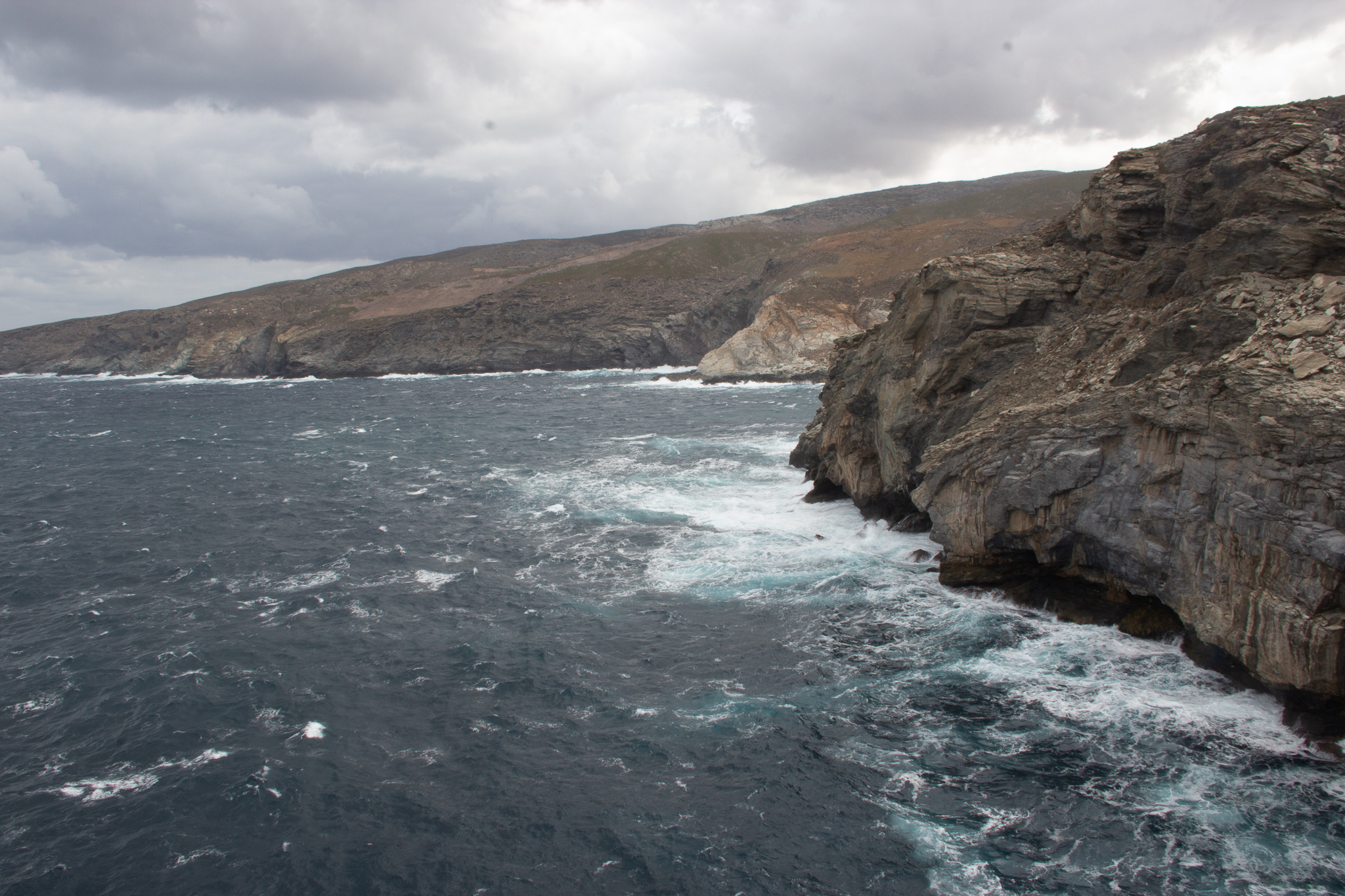
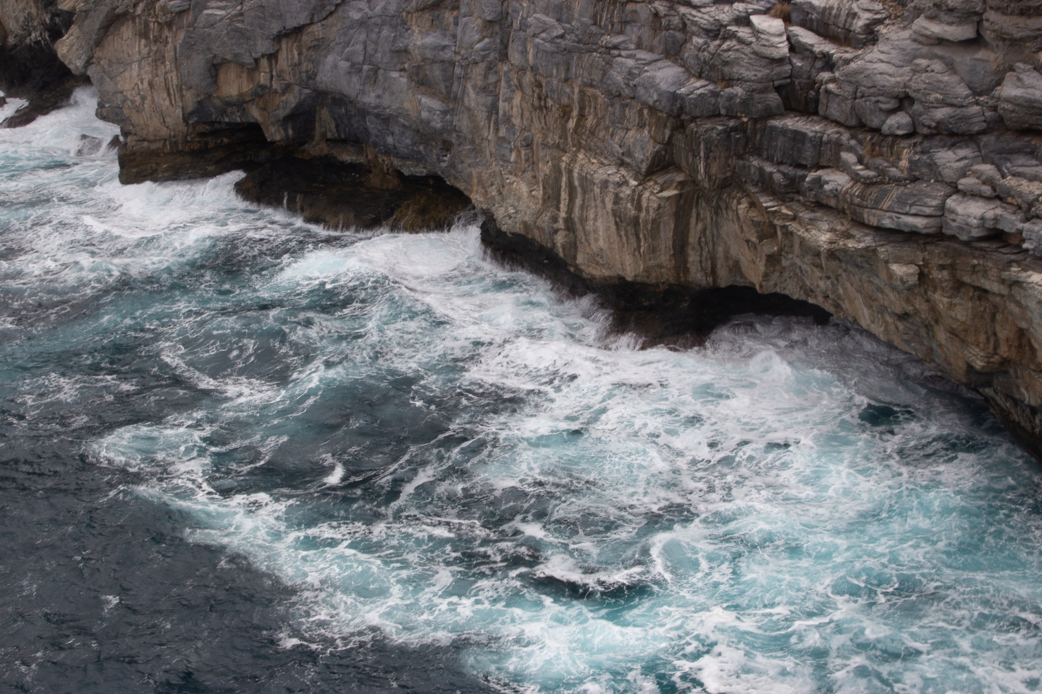
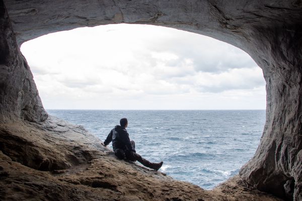
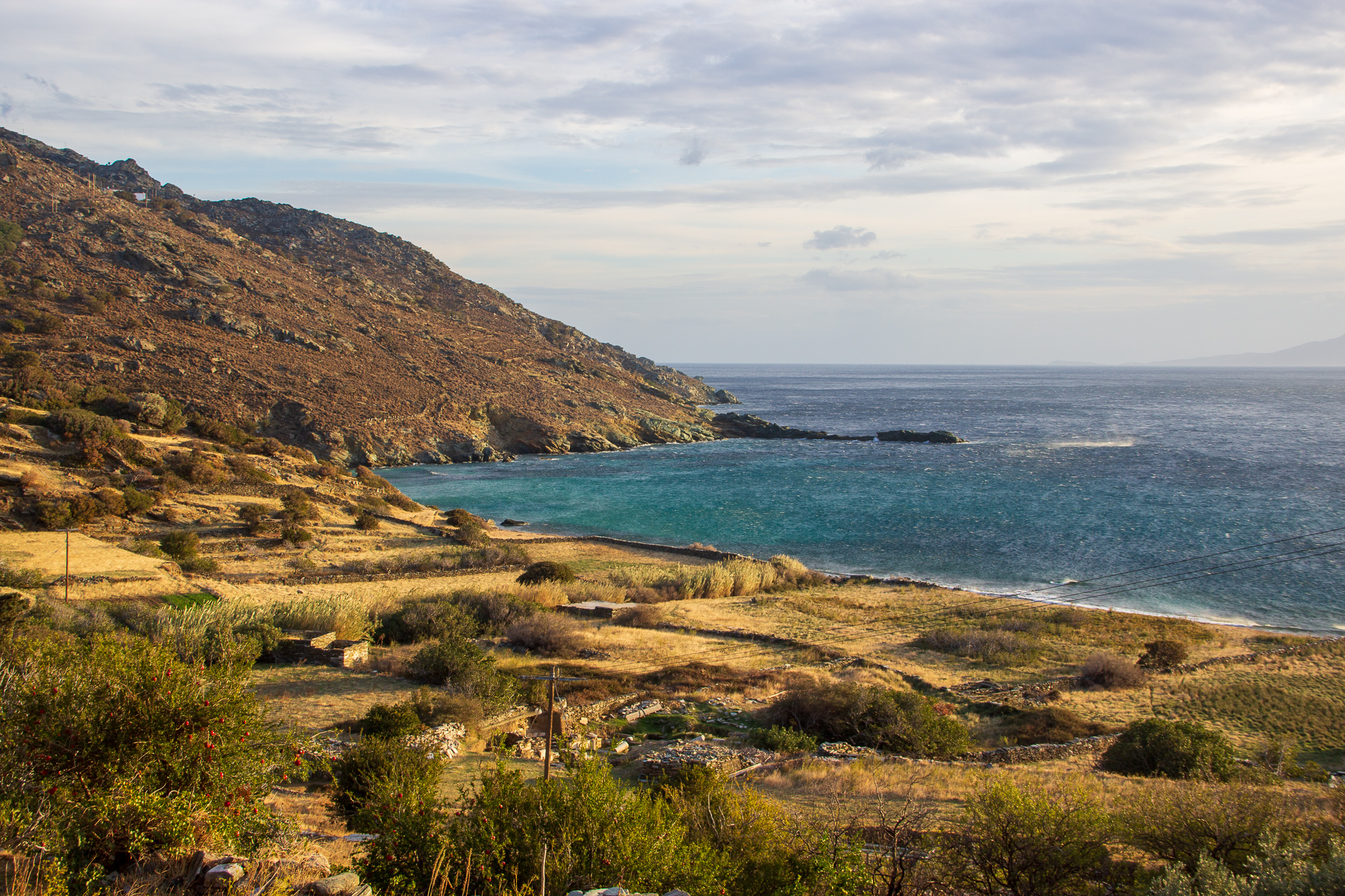
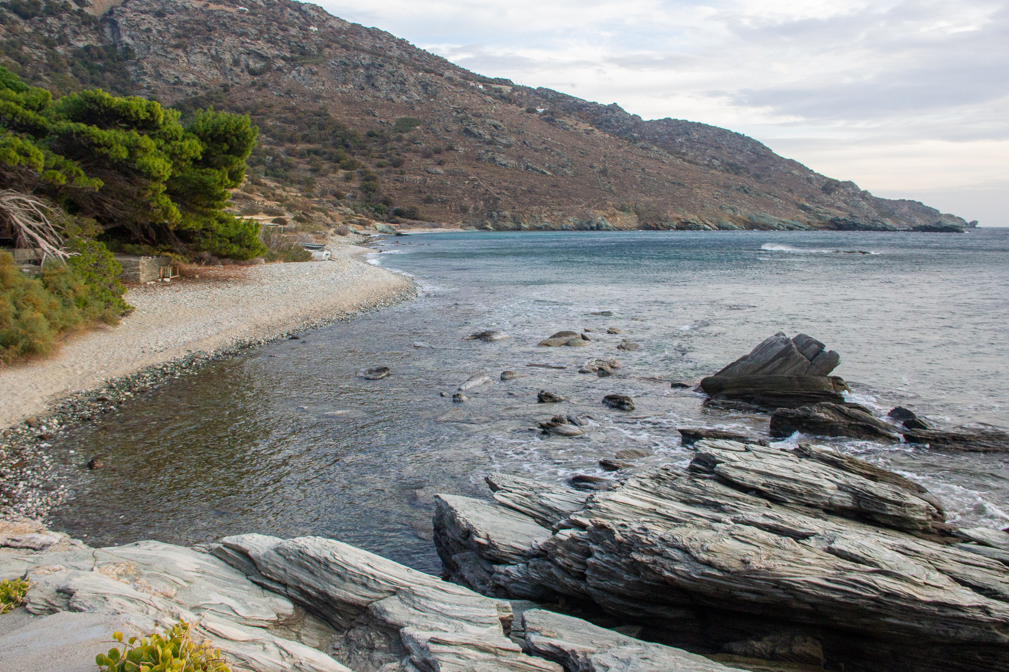
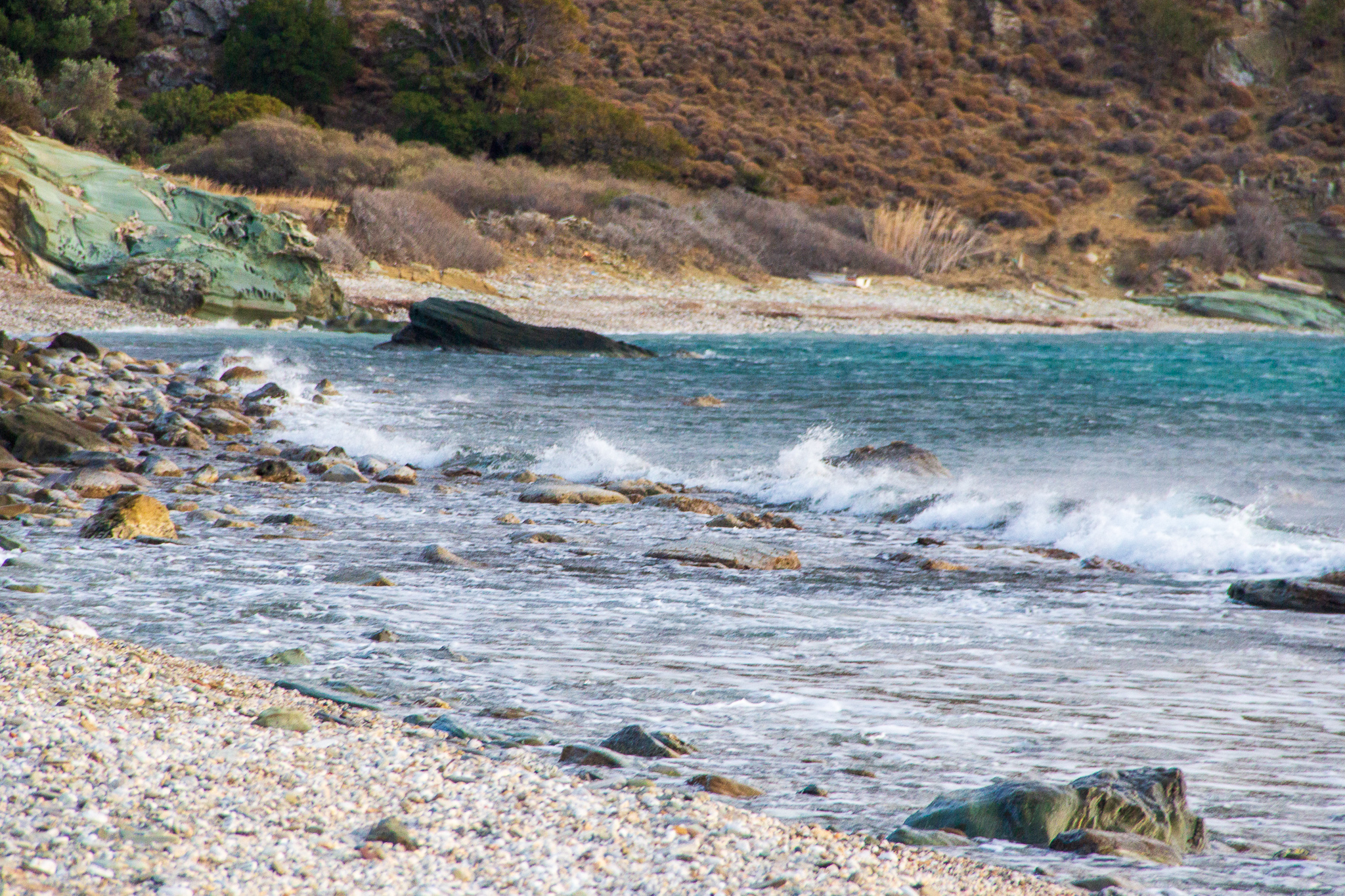
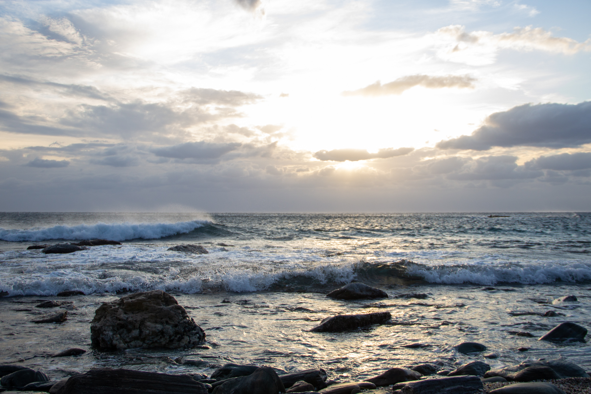
In Gavrio, I rented a car and drove to the island’s northern part, where I visited Zorkos beach and hiked on route 20 to the fantastic trypes cave. The windy sea was spectacular.

Before sunset, I drove south to visit the Paleiopolis archeological site and beach (the circular part of route 9a).
The end
This was the first trip of its kind for me, and I learned so much from it. Yes, I could have been better prepared, and I should have carried less weight, but the overall experience was nothing short of amazing. I’m already looking forward to my next hiking trip.
To wrap up, here are a few general tips and recommendations
Food
Travelling off-season meant that quite a few restaurants were closed, but I did enjoy most of the meals I had on the island:
- Recommended Restaurants: Stamatis in Batsi, Endochora and Lithi in Chora, Lithodomi in Korthi, O Giannoulis (O Γιαννούλης) in Agios Petros.
- Quick bites: Το Χατσαπούρι in Menites and Hot Spot Pizza Bar in Agios Petros.
- Take-away: There are a few Masoutis minimarkets in Chora and Gavrio where you can find some hot prepared food on the cheap.
Cell coverage
I was roaming on the Wind network and had coverage everywhere on the island. I did lose internet connectivity a couple times, but only for a short while.
Car rental
I’m happy to recommend Escape in Andros – their service was perfect, and they were a pleasure to deal with.
Covid tests
If you need to take a covid test before traveling home, you can do that in Chora at Μικροβιολογικό Άνδρου, or at the clinique right next to the Jumbo store in Agios Petros (call 6974026931 for info).